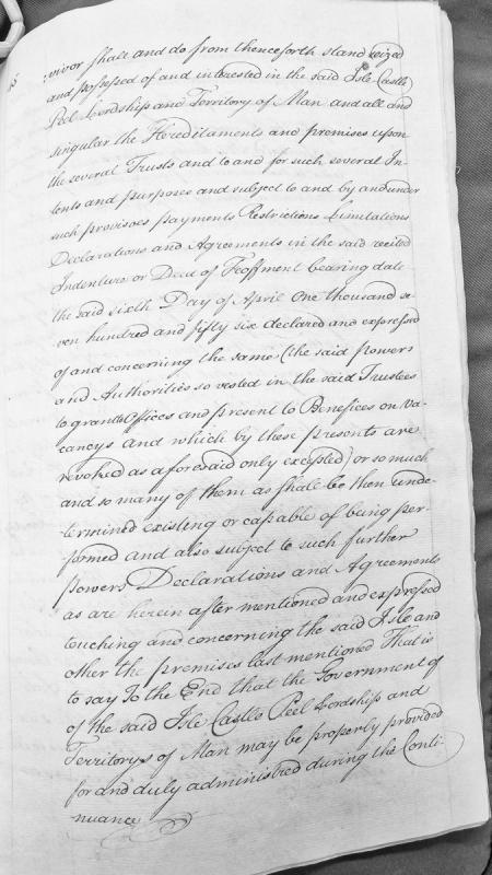
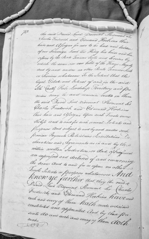
A legal document transferring seizin and possession of the Isle of Man, Castle Peel, and associated territories to trustees under specified trusts, provisoes, and restrictions as detailed in a Deed of Feoffment dated 6 April 1756. The document revokes certain powers relating to the granting of offices and presentation to benefices.
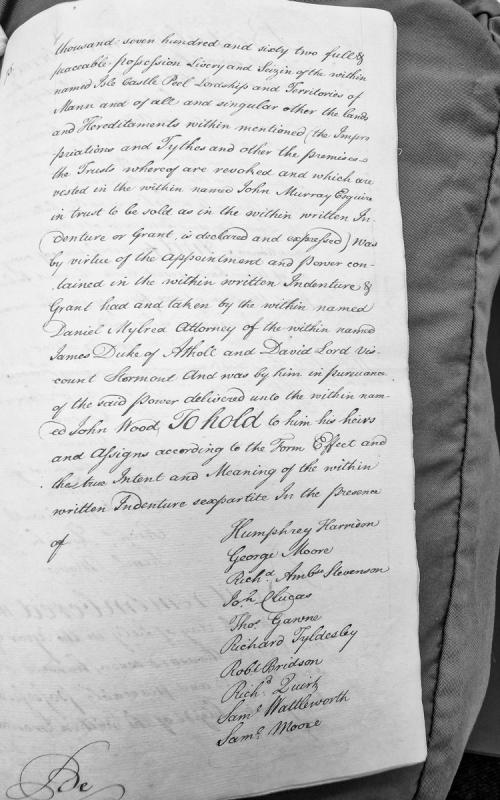
A legal conveyance document dated 1762 transferring full possession, livery and seisin of Isle Castle, Peel, Lordship and Territories of Mann to John Wood. The transfer is made by Daniel Mylrea as Attorney for James Duke of Athole and David Lord Viscount Stormont, by virtue of powers contained in an indenture and grant, with various lands and hereditaments included in the conveyance.
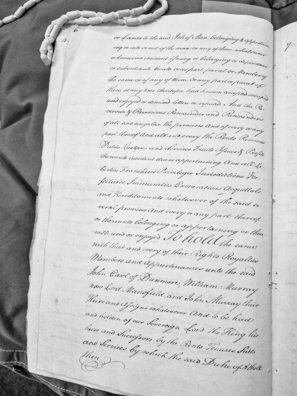
Fragment of a legal document conveying lands, properties, rents, revenues, duties, customs, services, franchises, privileges, jurisdictions, and hereditaments belonging to the Isle of Man to John Earl of Dunmore, William Murray (Lord Mansfield), and John Murray, their heirs and assigns. The document employs formal 18th-century legal language typical of property conveyances.
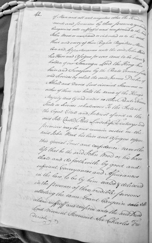
A legal document transferring the Isle of Man, Castle Peel, lordships, territories and premises to John Wood, held in trust. The document specifies that Wood must subsequently convey these properties to David Lord Viscount Stormont and Sir Charles Frederick through proper legal instruments witnessed by three credible persons.
Fragment of a legal deed or settlement document concerning the conveyance of the Isle of Man, Castle Piele, and associated lordships, territory and premises to David Lord Viscount Stormont, Sir Charles Frederick, and Edmund Hoskins, held in trust under specified conditions and agreements.
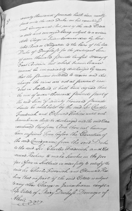
A legal document detailing the sale and conveyance of a Scottish estate for seventy thousand pounds, with discussion of financial encumbrances including a heritable bond of seven thousand pounds owed to the heirs of the late Duke of Douglas, and provisions for withholding payment until the incumbrance is discharged.
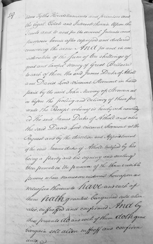
This is a legal conveyance document transferring tythes, hereditaments and premises to John Murray of Strowan. The Duke of Atholl and Viscount Stormont act as parties to the transfer, with consideration of ten shillings paid by Murray. The document establishes trusts and specifies various intents and purposes for the transferred property.
Two storey, double-fronted, semi-detached house with single storey extension to gable, adjacent to 'Avoca'. Originally constructed before 1868 (present on Ordnance Survey 1:2500 1st edition map of that date).
The property was acquired by the Manx Museum and National Trust in 1992.
Undated burial cists.
The Ordnance Survey 1:2500 First Edition mapping of 1867 marks two graves 300m ESE of Cooil Roi farm.
Kermode (1930) subsequently records the graves as pre-Christian, and BRS Megaw (director of the Manx Museum 1940-57) expressed the view to a Royal Commission field inspector in 1955 that they might have dated to the Bronze Age, based on a description he had been given: the inspector could find no trace or memory of them amongst local inhabitants, nor any sign of a burial mound in the vicinity.
The grid reference refers to the OS annotation, 'Graves'.
Undated burial cist.
The Ordnance Survey 1:2500 First Edition mapping of 1867 marks two graves 300m ESE of Cooil Roi farm.
Kermode (1930) subsequently records the graves as pre-Christian, and BRS Megaw (director of the Manx Museum 1940-57) expressed the view to a Royal Commission field inspector in 1955 that they might have dated to the Bronze Age, based on a description he had been given: the inspector could find no trace or memory of them amongst local inhabitants, nor any sign of a burial mound in the vicinity.
The grid reference refers to the more northerly of the graves marked on the OS.
Undated burial cist.
The Ordnance Survey 1:2500 First Edition mapping of 1867 marks two graves 300m ESE of Cooil Roi farm.
Kermode (1930) subsequently records the graves as pre-Christian, and BRS Megaw (director of the Manx Museum 1940-57) expressed the view to a Royal Commission field inspector in 1955 that they might have dated to the Bronze Age, based on a description he had been given: the inspector could find no trace or memory of them amongst local inhabitants, nor any sign of a burial mound in the vicinity.
The grid reference refers to the more southerly of the graves marked on the OS.
An antiquarian record indicates that probable Bronze Age funerary urns were found in this area, but there is no information about the date of the find or any surface evidence of a burial site.
The findspot of 10 pieces of flint of early prehistoric date. A sherd of glazed pottery (rim or handle), possibly North Devon grit-tempered ware, was also found here.
A barrow which measured 7 metres in diameter existed here before the area was cleared for a fruit farm in the 1970s. Little trace visible of the mound now survives.
The site of a feature thought to have been a Bronze Age Bowl Barrow. It consisted of a tumulus believed to be a tree covered, ditchless bowl barrow measuring 7.0 m diameter and 0.6 m high. It was destroyed by ploughing.
A late medieval and early post-medieval "Watch and Ward" beacon or lookout is believed to have been located in this area, at "Cooildarry."
Many of the Watch and Ward posts may well have been maintained on the same site since the medieval period.
The findspot of a scatter of Mesolithic flints, which include 8 Heavy-blade type arrowheads, 2 smaller arrowheads, 2 leaf-shaped arrowheads (1 pressure-flaked), 1 diamond shaped arrowhead, 4 flakes, 1 scraper, 1 awl, and 1 core.
The findspot of a scatter of Mesolithic flints, which include 8 Heavy-blade type arrowheads, 2 smaller arrowheads, 2 leaf-shaped arrowheads (1 pressure-flaked), 1 diamond shaped arrowhead, 4 flakes, 1 scraper, 1 awl, and 1 core.
A large, irregular, grass covered mound which has no clearly defined limit. The diameter of the mound is between 40 and 50 metres and it is up to 4 metres high. An excavation into the surface has shown it is composed of gravel and it is probably a natural feature.