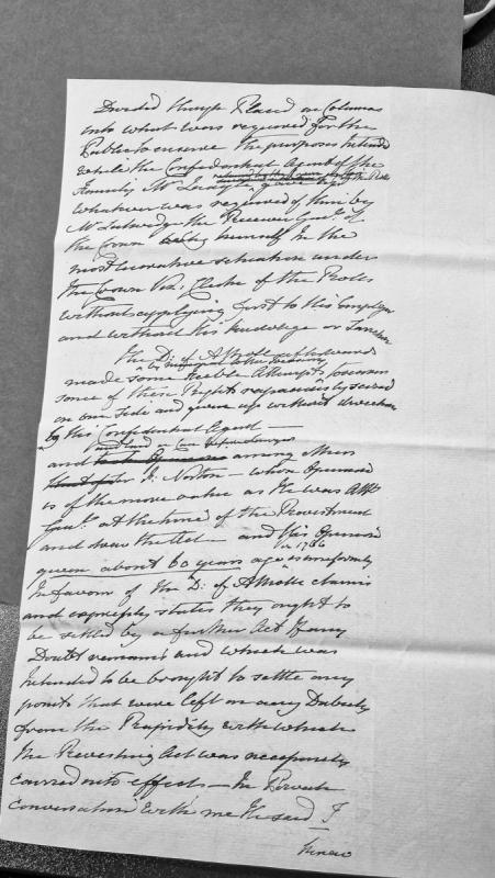
A fragmentary legal document discussing disputes over public revenue and the Duke of Atholl's rights following the Revestment Act. References opinions from R. Norton, the Attorney General at the time of Revestment who drafted the Act, regarding claims that should be settled by further legislation. Mentions various officials including the Receiver General and Clerk of the Rolls.
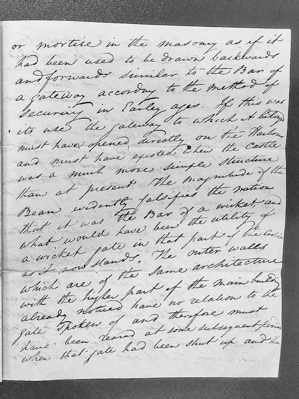
A fragmentary text discussing the architectural history of a castle structure, specifically analyzing the purpose and design of a large beam or bar that may have functioned as a gateway mechanism. The author considers whether it served as a sliding bar for security purposes in early construction phases.
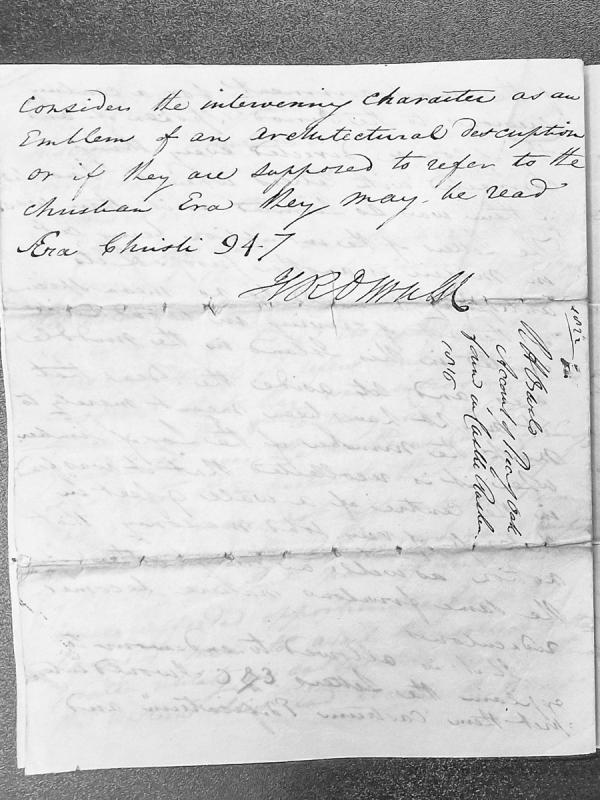
A fragmentary manuscript discussing the interpretation of intervening characters as architectural emblems or Christian Era references (94.7). The verso contains an endorsement referencing an account of a rock found in Castle Rushen, with dates 1012 and 1016 marked.
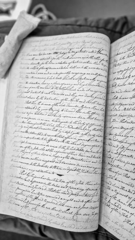
A heavily obscured right-hand page fragment discussing monetary standards, copper coin, currency regulations, and references to royal authority and Isle governance. The document appears to concern coinage valuation and legal tender specifications, mentioning amounts in pounds and pence.
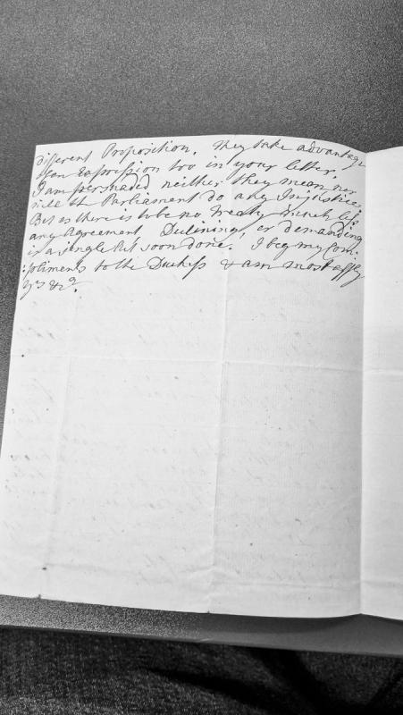
This is a fragmentary letter discussing a proposition and concerns about potential injustice. The writer expresses confidence that neither the addressee nor Parliament intends injustice, and notes that in the absence of a treaty, any agreement or demand can be quickly resolved. The letter closes with compliments to a Duchess.
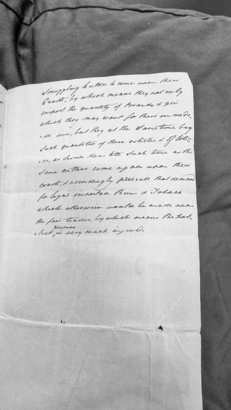
This is a fragmentary passage discussing the impact of smuggling cutters on coastal trade, particularly how they supply brandy, gin, and tobacco to local populations, thereby reducing demand for legally imported rum and tobacco and injuring public revenue.
A fragmentary document containing only inverted text at the bottom of a page. The legible text includes 'ex parte' (Latin legal terminology) and what appears to be 'eMurry' or similar, suggesting this may be part of a legal document or court matter.
A heavily damaged or partially visible text fragment showing only the right edge of an adjacent page. The content is largely obscured, with only disconnected words and partial phrases visible, making it impossible to determine the document's purpose or full content.
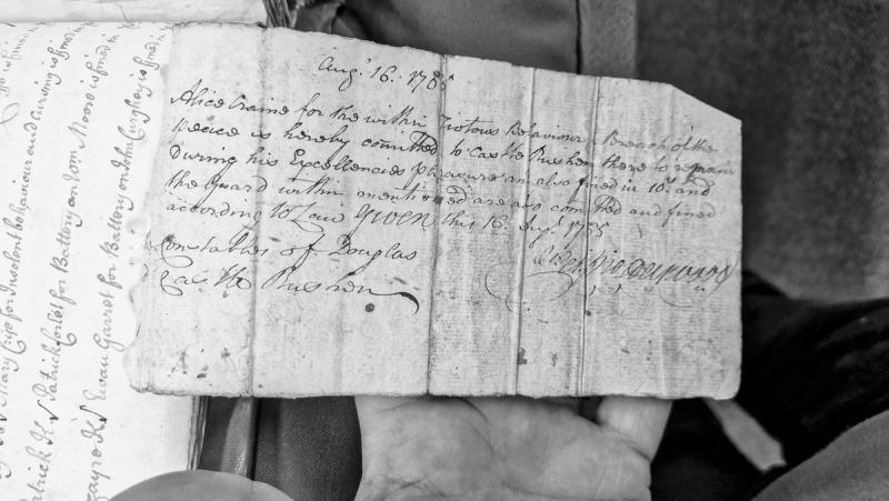
A partially visible and rotated court document recording presentments or charges against multiple individuals. Legible names include Mary Cla[?], Patrick Corlet, and Susan Garret, with charges involving insolent behaviour, cursing, and battery. The document is severely fragmented with substantial text loss.
France is the country across the English Channel from Britain. The wars with France in the late eighteenth and early nineteenth centuries directly affected the Isle of Man, prompting the raising of the Royal Manx Fencibles and volunteer corps for the Island's defence, and driving significant military activity in Manx waters.
The Island was named in an Anglo-French treaty long before that. The truce between France and England of 1389 included the Isle of Man by name, and it was signed for the Island twice over, by Thomas Randolph, Earl of Moray, as its sovereign in the Scottish interest, and by William Montacute, Earl of Salisbury, as the King of Man whom England recognised.
The French claim stayed in the royal style for centuries. Manx patents of the eighteenth century still open with the King as George the Third, by the Grace of God of Great Britain, France and Ireland King, Defender of the Faith.
The wars reached individual Manx families. Lieutenant John Frissell, son of the High Bailiff of the same name, was wounded in the battle of the first of June 1794, and afterwards married a French marchioness and settled in France. Two of his brothers were also in the navy. Captain John Quilliam steered the Victory into action at Trafalgar. The Island's own forces were organised in battalions under Lieutenant-Governor Alexander Shaw as Major Commandant, and Major Taubman pressed the Home Office to date the Fencibles' commission from August 1798.
Francis Bacon (1561-1626) was an English philosopher, statesman and Lord Chancellor. His connection to the Isle of Man relates to his involvement in early seventeenth-century English governance and legal affairs that touched upon the status of the Island under the Stanley lords.
Letter from Massachusetts Governor Francis Bernard to Benjamin Franklin requesting assistance in arranging his son's passage from Alexandria, Virginia to Philadelphia and onwards to Boston. The letter references earlier correspondence and indicates a logistics issue with the young Bernard's travel arrangements. Contextually relevant to understanding transatlantic colonial communications and the networks of prominent American colonial figures during the pre-Revolutionary period.
Sir John Frank Kermode (29 November 1919 - 17 August 2010) was a literary critic born in Douglas, the son of a ferry-company warehouseman, who became one of the most influential English-language critics of the 20th century. He held the King Edward VII Chair of English Literature at Cambridge (1974-1982) and is best known for The Sense of an Ending (1967) and his extensive studies of Shakespeare and modern literature. On his death his ashes were scattered at sea between Liverpool and Douglas.
A detailed letter from the Attorney General of the Isle of Man defending his non-residence on the island against criticism from the Duke of Atholl. Frankland argues that his services are more effective when based in England, citing precedent, Treasury warrants, constitutional law, and support from island authorities. The letter addresses the tension between the Duke's proprietary interests and the Crown's control over Manx offices.
Attorney General Frankland defends his non-residency on the Isle of Man against criticism from the Duke of Atholl, arguing that his legal services are more effective when based in England. The letter addresses constitutional questions about the Attorney General's duties, the legitimacy of absence under the 1696 Act of Tynwald, and the Treasury Warrant of 1808 governing salary conditions. It provides insight into tensions between the Manx ducal interest and the Westminster establishment.
Frederick Agnew Gill (25 May 1873 - 4 June 1938) was born in Castletown and became a British Army officer and polo player, winning an Olympic bronze medal in polo for the Bagatelle Polo Club de Paris team at the 1900 Paris Olympics. He later worked as polo manager at the Ranelagh Club in London and represented the All Ireland Polo Club on its 1922 tour of the United States, making him one of the earliest Manx-born Olympic medallists.
Frederick Howard, 5th Earl of Carlisle (1748-1825), was a British statesman and diplomat. His connection to the Isle of Man relates to his involvement in the political affairs of the late eighteenth century, during the period following the Revestment of 1765.
The Friary Chapel at Ballabeg, Arbory, is the remaining chapel of Bemaken Friary, the only Franciscan friary established on the Isle of Man. Built around 1373 and dedicated to St Francis, it was home to a small community of friars drawn from Ireland before being dissolved under Henry VIII. Two samples of oak from a roof tie-beam were removed during repairs to the chapel in February 1952 and are held in Manx National Heritage's Social History Collection.
Parts of the farmhouse, which is generally of early 19th century character, rest on massive granite boulders similar to those which form the lower courses of the church. It would therefore appear possible that these represent the remains of earlier structures dating from the time of the friary, though whether they are in situ or not has not been ascertained.
Cistercian abbey in Lancashire with extensive ecclesiastical and monastic connections to medieval Mann.
The connection was established under the Norse kings. A charter attributed to King Olave granted the church of St Mary of Furness liberty in the election of a Bishop of the Isles. A later charter of King Godred confirmed the same privilege, stating that he had granted Furness “full liberty of electing a bishop of the Isles”, as his father Olave’s charter testified.
This right generated repeated involvement by the monks in episcopal elections. Manx Society editions preserve disputes in which King Olave and others opposed candidates associated with Furness, as well as documents in which bishops acknowledged that the right of election belonged to the monks.
Papal protection strengthened the abbey’s position. The bull of Eugenius III in 1153 took the abbey and its possessions under papal protection. Later bulls of Urban III and Celestine III again confirmed the monastery and its rights.
Furness also stood behind the development of Rushen Abbey. Medieval and later Manx accounts describe Rushen as a Cistercian house connected with Furness, while the surviving documentary record preserves grants, confirmations and disputes involving the two institutions.
The relationship did not give Furness secular government of the whole Isle of Man. The surviving grants concern ecclesiastical rights, property and monastic interests, including the disputed privilege of episcopal election.
Furness also appears in the textual history of the Chronicle of Mann, which nineteenth-century editors believed had been continued for a period by monks of Furness after the earlier Rushen portion.
A certificate issued by royal commissioners (Robert Suthwell, James Layborne, Thomas Holcrofte, and John Ashton) surveying the lands and revenues of Furness Abbey following the Dissolution of the Monasteries. The document specifically lists ecclesiastical and temporal holdings in the Isle of Man, including Rouat wathe (valued at 12d. annually) and the parsonages of St Mahold and St Michael (let at farm for £6 13s. 4d. yearly). Relevant to understanding pre-Revestment Manx governance, church property, and historical land tenure.