A post-medieval corn mill associated with Kerromooar farm. A building and dammed pond are shown on the 1869 1:2500 Ordnance Survey map at this location.
A scholarly glossary defining ecclesiastical and temporal terms found in medieval and early modern Manx documents, charters, and historical records. Provides Latin and Anglo-Norman terminology for feast days, liturgical seasons, and calendar conventions used in administrative and legal documents relevant to Manx history. Essential reference for interpreting dated clauses and temporal references in period documents related to the Revestment era.
Glyn Moar House, with its outbuildings and grounds, stands on Glen Mooar Road near St John's and appears on the Isle of Man's Registered Buildings list. No further verifiable history of the house was found online beyond confirmation of this listing.
Defended promontory. The fort is located on a headland jutting south-eastward into the sea. It is lozenge-shaped, its longest axis running SW-NE measuring roughly 50m across. Natural defences are provided by precipitous gullies on the west and north sides thus providing a natural all round sheer rock face on all but a 20m strip to the north-west. Here an inner bank 4m wide at the base with a maximum interior height of 1m has been constructed; it has no apparent entrance. The bank is paralleled to the north by a ditch, beyond which lie an outer bank and ditch. The eastern half of both have been mutilated by a field boundary and cultivation.
There is no visible trace of any internal structures. The site is most likely of Iron Age origin, but may have been re-used during the medieval period.
The findspot of an early prehistoric flint scatter consisting of a worked flint measuring 35 millimetres in length. It was collected from the old land surface beneath 0.9 metres of blown sand.
Gob ny Rona (Port Lewaigue) is the ruined site of a late 18th or early 19th century casemated battery, built on the possible site of a Civil War Battery (possibly PRN 0585.00). It was a casemated battery comprising 'a sod rampart 12 feet thick, and a wooden platform of 18 yards wide by 6.5 yards deep' as mentioned in 1804. It had four embrasures and was different from the barbette-type battery ordered to be built here in 1793.
The fort is situated on a fairly high peninsular jutting northwards into the sea. The remains are rectangular and measure internally from foot of bank to foot of bank 14.5 x 7.5 metres. It is orientated west-northwest to east-southeast. The walls have an internal height of 1.6 metres and an external height of 1.1 metres, their average width at the base is 5.5 metres. They have been much mutilated by minor breaks and the whole is covered by fern and gorse. No trace of stonework was found. Considerable quantities of material have been removed from the adjoining southern exterior apparently in fairly recent times. No trace was found of any external defences.
An earlier Civil War battery appears to have stood on the site, as 'near Port League... there is an isthmus thereon was another fort... well supplied with cannon in 1643'. Further references were made to the site during the 17th and early 18th centuries; but 'only vestiges of the ramparts and a few old unservicable cannons' were seen in the mid - 18th century, although brought into use again in 1782. The headland is now National Trust property.
Gob-ny-Geay is a right-hand jink on a fast downhill straight at the 35th Milestone, roughly midway between Creg-ny-Baa and Brandish Corner, around the 34.9-mile point of the course. It has historically been used as a speed-trap location during racing, and the name appears in several spelling variants in different sources, including Gob-y-Geay and Gob-na-Geay.
A Neolithic polished stone axehead was found in stone-lined graves or burial cists at an unlocated site described as; 'Gobinay, ie Gob yn oaie, Headland of the grave. On the summit of the hill about 1750 yards E (sic) of and overlooking Cregneish. Stone-lined graves found containing polished-stone axe-head.' . This place name is not known and not shown on Ordnance Survey maps and the distance given appears to be erroneous.
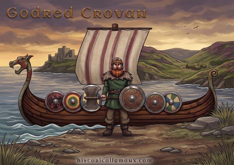
Norse conqueror of the Isle of Man and founder of the dynasty which held it for nearly two centuries.
The Chronicle of Man makes him the son of Harald the Black of Iceland. He was at Stamford Bridge in September 1066, where Harald Harfager fell, and escaped from the defeat to Mann, where Godred son of Sytric then reigned and received him honourably. In the same year William the Bastard conquered England. Godred son of Sytric died and his son Fingal succeeded him.
The conquest took three attempts. Crovan gathered a fleet, came to Mann, joined battle with the inhabitants and was beaten. He recruited his army and navy, came again, and was beaten a second time. On the third attempt he landed by night and placed three hundred men in concealment, who rose at the rear of the Manx line once the fighting was joined and broke it. The battle is placed at Sky Hill near Ramsey, and Fingal was dispossessed.
The date is not settled in the sources. Manx Society editors give 1077, and the Antiquitates Hibernicae has him dead by 1076, which cannot both be right. The editor of the Monumenta notes that the chronology of the manuscript is defective at this point, that its own reckoning would push the conquest to 1081, and that the Norse sagas give 1077, which he thought the likelier date. His name is glossed in the same volumes as Crovan, Cronan or Chrouban, all meaning white-handed.
What he did with the land mattered longer than how he took it. He divided the Island among the natives and among those of his followers who chose to stay, on terms that none should claim their holdings as hereditary property but should hold simply as tenants at will to the King. This is the origin later Manx writers gave to the tenure of the straw, and the nineteenth-century editor of the Manx statutes drew the comparison directly: like William the Conqueror, Crovan established feudal tenures in Man, leaving the old proprietors in legal possession but granting them their charters from himself. The same editor observed that what the monks of Rushen imagined Crovan to have done was what the seventh Earl of Derby deliberately attempted in 1645.
He died in Islay and was succeeded by his son Lagman. Another account has him expelled from his kingdom in 1093 by Magnus Barefoot of Norway and dying in Islay in 1096, leaving three sons, Lagman, Harold and Olave. Twelve or thirteen kings of his race followed, and their line ended with Magnus, who died at Castle Rushen. A seal of Godred survived in the Office of the Duchy of Lancaster, perfect in Camden's time, with his effigy on horseback on the reverse and on the obverse a ship with furled sails and the legend Rex Manniae et Insularum.
The site of Godred Crovans Stone, which was a natural feature. The stone was a large glacial erratic boulder of local granite, which was broken up during the 19th century to be built into the church. Godred Crovan was an 11th century Norse-Gaelic ruler. The origins of the name attribution at this site are not known.
This red sandstone memorial cross on Douglas Head stands 28 feet tall, with a shaft and runic cross weighing some 9 tons set on a 40-ton limestone base, and bears the inscription "The Great War, 1914." It was gifted by John Leigh Goldie-Taubman of the Nunnery and unveiled on 11 November 1922 by the Lieutenant-Governor, sited on Douglas Head because the headland was traditionally the last piece of Manx soil seen by islanders leaving by sea. The original cross was blown down and shattered in a gale on 11 October 1928, after which a smaller, simpler cross was erected in its place using the surviving original panels, one commemorating "the chivalry of the men of this Island and all who died for us."
No names listed; First World War. Second World War.
The memorial is an Irish limestone cross, located within enclosed iron railings on Douglas Head, facing towards Douglas Bay, above Marine Drive. The 1935-1945 inscription was added later using a separate tablet. The tablet is made from Manx slate.
The momument was a gift from Mr John Leigh Goldie-Taubman of the Nunnery, Douglas. It was unveiled on 11 November 1921 and dedicated by Rev. H.S. Taggart, M.A., Vicar of St. Matthew's Church, Douglas.