Report from Governor Wood to the Duke of Atholl detailing financial remittances (£1,300), tythe (tithe) purchase money collections (£535 12s 1.5d), and auction results for glebe and tythe sales across Manx parishes including Michael, Lezayre, Maughold, Lonan, and Marown. Reflects Atholl's ecclesiastical and financial administration of the Isle of Man before the 1765 Revestment.
Report from Governor Wood to the Duke of Atholl covering financial remittances, tithe sales, mining operations under Mr Griffith's lease, legal costs, and Governor's House repairs. Dated February 1763 with postscript of March 1763. Provides insight into Atholl's income sources from the Island before the 1765 Revestment.
Official report from Governor John Wood to the Duke of Atholl covering financial remittances (£1200), tithe collection, castle repairs at Rushen, industrial operations (paper mill, iron forge, snuff mill), and trade conditions. Provides snapshot of Manx economy and infrastructure two years before the Revestment, noting cash scarcity and trade dullness partly attributed to post-war circumstances and customs enforcement.
A report from Governor Wood to the Duke of Atholl detailing the passage of laws by the Isle of Man Legislative Body, requesting the Duke's assent to a consolidated Act, and noting expected financial returns and tithe deeds from Scotland. The letter reflects the administrative relationship between the Atholl proprietor and the island's governance in the decade before the Revestment.
Report from Governor John Wood to the Duke of Atholl covering multiple administrative matters including a criminal execution, customs enforcement by revenue cutters (particularly the Lurcher and Easter), merchant resistance to boarding and seizure operations, and financial accounts (boon money, court dinner allowances). Directly addresses tensions between revenue enforcement and merchant interests on the eve of the Revestment.
Report from Governor John Wood to the Duke of Atholl concerning governance of the Isle of Man, including matters of crime and punishment, customs enforcement by naval cutters, merchant petitions regarding seizures, court expenses, and boon money accounts. Directly relevant to pre-Revestment administrative procedures and tensions between revenue enforcement and merchant interests.
Governor's Bridge and Governor's Dip form a hard right-hand hairpin with a road junction on Old Bemahague Road, around the 37.3-mile mark, where the road drops sharply into the Dip before a left turn and a right-hand exit onto a historic slip road. The bridge, and the corner's name, come from a stream it spans; overhead tree cover limits sun and air circulation here, so the surface is often damp and slippery.
Stone shelter built 1955 by public subscription, between the 30th and 31st milestones. In memory of Les Graham, 1949 500cc World Champion, killed in the 1953 Senior TT. Used as a marshalling/medical point during race week.
The Ordnance Survey First Edition 1:2500 map of 1868 records the site of a chapel and burial ground at this location. Canon EB Savage writing circa 1885 (MS in the Manx Museum) records the statement of a man who had cleared the area some 30 years previously when he found 'stone graves and urns' at the site. Savage adds, however, that he had heard of no remains or tradition of a chapel. PMC Kermode writing in 1894 records 'lintel graves have been met with when ploughing.'
The Manx Archaeological Survey of 1968 remarks that this seems to be one of the least authenticated keeill sites in the parish of Rushen since apart from the OS map entry, there is no other reliable information and every trace of it has vanished on the ground. The site has been greatly disturbed by a small quarry to the south of the site marked by the OS, which operated until 1914, after which the area was remodelled as part of the Rowany golf course. Nothing can now be seen remotely suggestive of a keeill or burial ground.
The Ordnance Survey First Edition 1:2500 map of 1868 records the site of a chapel and burial ground at this location. Canon EB Savage writing circa 1885 (MS in the Manx Museum) records the statement of a man who had cleared the area some 30 years previously when he found 'stone graves and urns' at the site. Savage adds, however, that he had heard of no remains or tradition of a chapel. PMC Kermode writing in 1894 records 'lintel graves have been met with when ploughing.'
The Manx Archaeological Survey of 1968 remarks that this seems to be one of the least authenticated keeill sites in the parish of Rushen since apart from the OS map entry, there is no other reliable information and every trace of it has vanished on the ground. The site has been greatly disturbed by a small quarry to the south of the site marked by the OS, which operated until 1914, after which the area was remodelled as part of the Rowany golf course. Nothing can now be seen remotely suggestive of a keeill or burial ground.
The Manx Archaeological Survey records the presence of a worked stone 220 yards ENE of the site of the keeill recorded by the OS. The ground at this point is now part of a fairway on the golf course, but rough ground lies both to the north and south at SC19947000 and SC19966996 respectively. The MAS describes the stone as much weathered, standing about 0.8m high, and protruding from an apparently eroded, flat-topped mound about 2m in diameter. The Survey suggests that the stone may be a decapitated cross-slab, possibly marking a grave.
The Manx Archaeological Survey also refers to an area of wet ground to the north of the site of the keeill, close to the footpath. This would seem to be centred at SC19766999, and may relate to the holy well or spring, Chibber Ballacreie, recorded by Gill (1929, A Manx Scrapbook).
The Ordnance Survey First Edition 1:2500 map of 1868 records the site of a chapel and burial ground at this location. Canon EB Savage writing circa 1885 (MS in the Manx Museum) records the statement of a man who had cleared the area some 30 years previously when he found 'stone graves and urns' at the site. Savage adds, however, that he had heard of no remains or tradition of a chapel. PMC Kermode writing in 1894 records 'lintel graves have been met with when ploughing.'
The Manx Archaeological Survey of 1968 remarks that this seems to be one of the least authenticated keeill sites in the parish of Rushen since apart from the OS map entry, there is no other reliable information and every trace of it has vanished on the ground. The site has been greatly disturbed by a small quarry to the south of the site marked by the OS, which operated until 1914, after which the area was remodelled as part of the Rowany golf course. Nothing can now be seen remotely suggestive of a keeill or burial ground.
The Manx Archaeological Survey records the presence of a worked stone 220 yards ENE of the site of the keeill recorded by the OS. The ground at this point is now part of a fairway on the golf course, but rough ground lies both to the north and south at SC19947000 and SC19966996 respectively - the latter appears more directly to reflect the directions given by the MAS. The MAS describes the stone as much weathered, standing about 0.8m high, and protruding from an apparently eroded, flat-topped mound about 2m in diameter. The Survey suggests that the stone may be a decapitated cross-slab, possibly marking a grave.
The findspot of a Bronze Age cremation urn which contained evidence of cremated remains as well as a perforated inscribed disc. It was found in 1801 when site of the medieval grange was cleared, and reported in the Manks Advertiser.
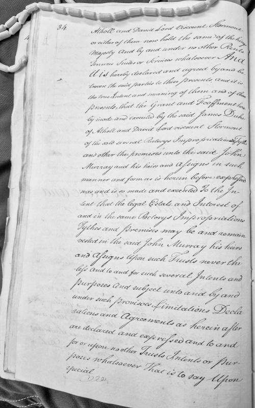
A legal document concerning the transfer of ecclesiastical properties (rectorys, impropriations, tythes) from James Duke of Atholl and David Lord Viscount Stormont to John Murray and his heirs. The document declares the intent and terms of the grant, establishing that the legal estate shall be vested in Murray subject to various trusts, provisoes, limitations and agreements to be subsequently detailed.
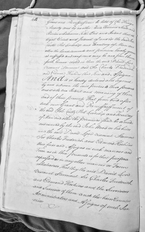
A legal document concerning the grant and re-enfeoffment of the Isle of Man, Castle Peel, and associated territories. The document outlines the terms by which these hereditaments are to be vested in David Lord Viscount Stormont, Sir Charles Frederick, and Edmond Hoskins, their heirs and assigns, held of the King's Majesty.
A charter issued by William de Montagu, Earl of Salisbury and Lord of Man, granting a yearly rent of forty pounds to William de Faryndon for life, payable from the issues of the Isle of Man. The document demonstrates feudal land tenure, revenue administration, and the Earl's authority over Man in the late 14th century. It is presented in both English and Anglo-Norman French versions.
A formal grant document issued by William de Montagu, Earl of Salisbury and Lord of Man, granting a yearly rent of 40 pounds to William de Faryndon for life, payable from the issues of the Isle of Man. The document is presented in both English and Norman French versions, with witness signatures and heraldic seal description. It illustrates feudal administrative practice and revenue structures on the island in the 14th century.
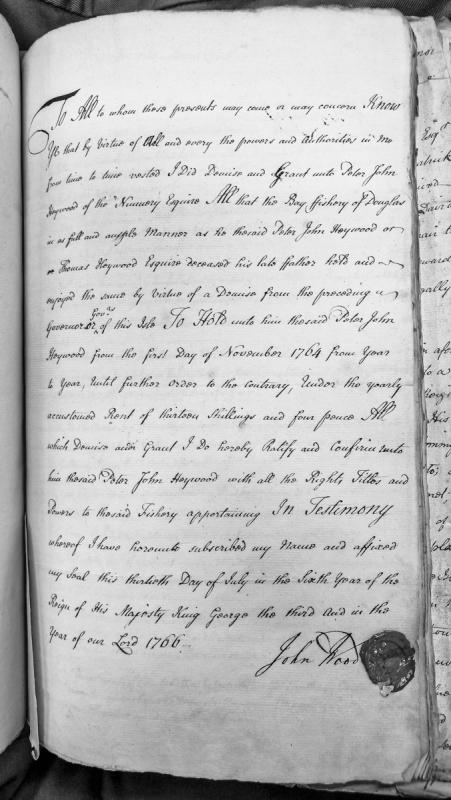
A formal grant document by which the Governor of the Isle of Man demises and grants the Bay Fishery of Douglas to Peter John Heywood, Esquire, from 1 November 1764 onwards at an annual rent of 13 shillings and 4 pence. The document ratifies and confirms the fishery rights previously held by Thomas Heywood (the grantee's deceased father) under a prior governor.
A legal obligation document from 1587 recording a grant by Henry, Earl of Derby (Lord of Mann) to Robert Salusburye of Denbigh of tithes, glebe lands, and church properties belonging to Kirkchriste and Kirkmarron churches in the Isle of Mann. The document establishes conditions for the lease, involving the Salusburye and Wright families, and provides evidence of early modern ecclesiastical property administration and lordship rights over Mann.
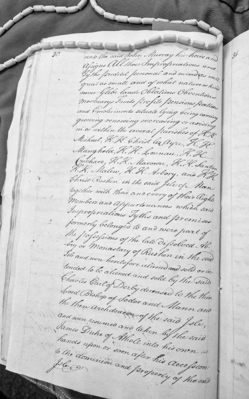
A legal document detailing the transfer of ecclesiastical impropriations, tithes, glebe lands, and associated revenues from multiple Isle of Man parishes (including Michael, Ayre, Maughold, Lonan, Cuchare, Marown, Santan, Malew, Arbory, and Rushen) to John Murray. The document traces the property's history through the dissolved Abbey of Rushen and its subsequent ownership by the Earls of Derby and Dukes of Atholl.
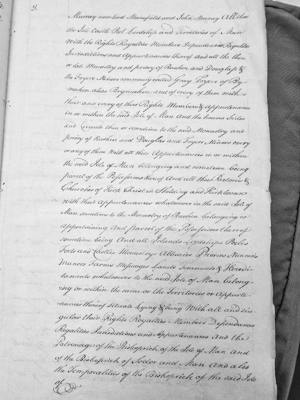
A formal legal document detailing the conveyance of the Isle of Man and its associated properties, rights, and jurisdictions to Murray (later Lord Mansfield) and John Murray. The document enumerates extensive holdings including castles, monasteries, priories, churches, islands, manors, and ecclesiastical patronage rights, suggesting a major land transfer or charter confirming territorial possession.
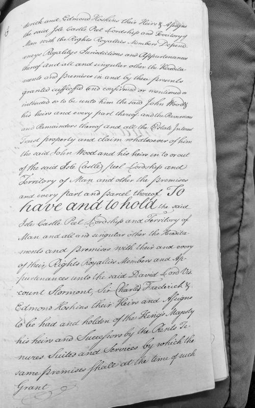
A legal conveyance document transferring the Isle of Man, Castle Peel, and associated lordship, territory, rights, royalties, and appurtenances from John Wood to David Lord Viscount Stormont, Sir Charles Frederick, and Edmond Hoskins. The document details the hereditary estates, jurisdictions, and claims being granted and their conditions of tenure.
Royal writ from King Henry III to the Justice of Ireland, confirming annual grants (wine and corn) to Reginald, King of Man, as a knight's fee, following his homage in London. This document establishes early feudal relationships between the Crown and the Manx kingdom, foundational to understanding the constitutional status of Man and the chain of title that preceded the 1765 Revestment.
A royal charter from King Henry III to the Justice of Ireland, granting Reginald, King of Man, an annual fee of two hogsheads of wine and 120 crannocks of corn as a knight's fee, as previously held under King John. This document establishes the feudal relationship between the English Crown and the Kings of Man in the early 13th century, providing constitutional and economic context for later Isle of Man sovereignty questions.