This flake from the face of a slab was found in a garden adjoining the churchyard to the north in 1911. It shows part of the interlace decorating the shaft of a cross; in the panel to the right is a robed female figure with long braided hair, holding in her hand a four-pronged spear or staff. Below her is a tethered horse, on whose back is either a saddle or a pack. It is tempting to interpret the woman as Hyndla, the wise-woman, and the horse as Grani bearing Sigurd's treasure, but both may have meanings unassociated with Norse mythology. The edge carries an inscription, but only the broken tops of a few runes now remain, which have been translated as, '...in memory of Mu...'
See also Manx Cross 123.
William Christian of Ronaldsway, Receiver-General of the Isle of Man, shot for treason at Hango Hill on 2 January 1662-3.
He was the son of Ewan Christian, Deemster, of Ronaldsway near Castletown, and first appears in the record in 1643, in a petition to James, seventh Earl of Derby, brought against his father. He had held the office of Receiver-General since 1648, a position of trust through which large sums passed.
When the Earl left the Island for the last time to join Charles II, he placed the insular infantry under Christian's command and left his Countess and children in his care. Sir Philip Musgrave was left as governor, with Sir Thomas Armstrong at Rushen Castle and Armstrong's brother at Peel. The commission from the Earl to his Countess to act for him in every respect during his absence is dated 6 August 1651.
What Christian then did is the disputed centre of the case. The charge against him was that he had headed an insurrection against the Countess in 1651, assuming the power to himself and depriving her, the Earl and their heirs of it. His own dying speech says instead that he carried the petition to the Countess, that she accepted it, and that she came to terms with the petitioners. Shortly afterwards, with Colonel Duckenfield's army lying off Ramsey, Musgrave marched against him at the head of the Manx troops.
He petitioned Charles II in 1660 and believed himself covered by the act of amnesty and indemnity. A mandate of Charles, eighth Earl of Derby, dated at Lathom in September 1662, had him proceeded against for all his illegal acts at, before or after 1651. The court overruled the plea of general amnesty on the ground that it did not avail in the Isle of Man in a case of treason against the Lord. The Manx Society editor who printed the records regarded that court as a packed jury and said so. Christian was buried in the chancel of Kirk Malew.
Even his name is disputed in the sources. One Manx Society editor glosses Illiam Dhone as William the brown haired, another as fair-haired William, and a Manx grammar of the same series as swarthy William.
The memory was kept by the ballad Baase Illiam Dhone, which one editor thought had done more than anything else to preserve him among Manx country people. It was translated by George Borrow as Brown William and by the Rev. John Crellin, and its refrain returns each stanza to the death that broke their hearts. A Manx distich remembers William M'Cowle, said to have been rewarded with land in the north of the Island for doing his duty, and wishes him no good of it. Sir Walter Scott drew on the case in Peveril of the Peak. Some have doubted whether the dying speech is Christian's at all, or the later composition of a friend.
William Christian of Ronaldsway, known as Illiam Dhone, was buried in the chancel of Kirk Malew after his execution for treason at Hango Hill on 2 January 1662/3. The coordinate given here is that of the current Malew parish church (a later building on the same site, registered building 256 in the government's Registered Buildings list); the exact plot within the chancel is not established from this source.
A peer-reviewed economic history article examining smuggling in 1530s–1540s Bristol through merchant account books and customs records. Jones demonstrates that smugglers were regular merchants who recorded illicit transactions alongside legitimate trade in standard accounts, and uses record linkage to quantify smuggling in leather and grain exports. The study illustrates how high tariffs incentivised evasion and provides methodology applicable to other early modern smuggling analysis.
Extract from the Statutes of the Realm (5 Elizabeth I, 1562) permitting foreign-born merchants to import French wines into Manx ports in foreign-owned vessels, limited to 100 tonnes per year. This establishes early modern trade privileges and Manx commercial autonomy, relevant to understanding pre-Revestment trade frameworks and the Isle's special trading status.
iMuseum is Manx National Heritage's online digital-collections platform rather than a physical site, giving free public access to images, indexes, and information drawn from the Manx Museum, National Library, and National Art Gallery collections. It provides free searchable access to more than 58,000 objects and items, including over 25,000 historical photographs of the island's people, places and events, over 2,000 works from the National Art Collection, and more than 32,000 items from the National Library. As a family-history resource it indexes records such as baptisms, marriages, burials, census returns, deeds, and First and Second World War internment records, and its Newspapers & Publications service gives free digital access to the most complete run of Isle of Man newspapers from 1792 to 1960. Because it is a digital archive rather than a place, it has no geographic coordinates of its own.
A doctoral thesis examining the Dutch East India Company's decline in the late 18th century through the lens of the relationship between the Company and its servants. The work emphasizes informal institutions (private trade, corruption, networking) as functional mechanisms for adaptation to changing circumstances in Asia. While focused on the VOC, the thesis includes comparative analysis with the English East India Company, offering contextual insights relevant to understanding contemporary corporate and imperial structures during the period of the 1765 Revestment.
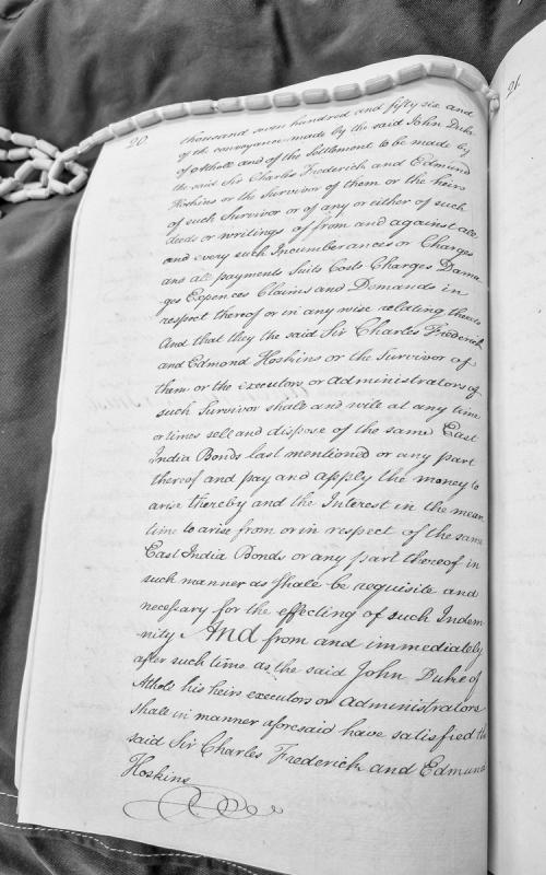
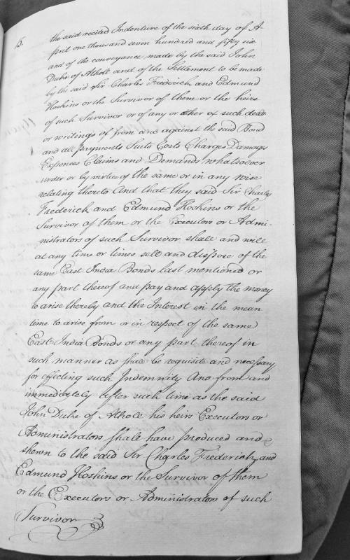
Fragment of a legal indemnity document from 1756 concerning East India Bonds and a conveyance by John Duke of Athol. The document outlines conditions for indemnification by Sir Charles Frederick and Edmund Hoskins, including provisions for the sale and disposition of East India Bonds and the management of arising interest and funds.
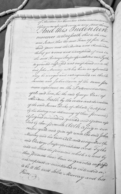
This is an excerpt from a legal indenture concerning the assignment and confirmation of rectory impropriations and tithes to John Murray and his heirs. The document involves George, Earl of Aberdeen, acting under the direction of James, Duke of Athole, and represents a formal legal transfer of ecclesiastical property rights and revenues.
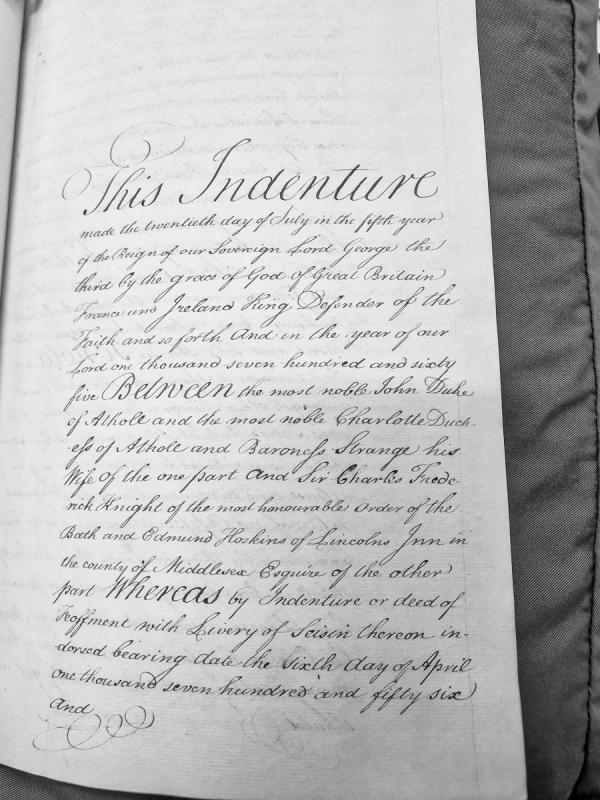
An indenture dated 20 July 1765 between John Duke of Athole and Charlotte Duchess of Athole on one part, and Sir Charles Frederick (Knight of the Bath) and Edmund Hoskins on the other part. The document references a prior deed of feoffment dated 6 April 1756 and appears to concern property matters.
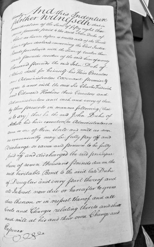
A legal indenture detailing covenants and agreements between John Duke of Athole and Sir Charles Frederick and Edmond Hoskins regarding financial obligations. The document specifies the payment of fifty-eight thousand pounds, trust arrangements for East India Bonds purchased with twelve thousand pounds, and the Duke's covenant to discharge a principal sum of seven thousand pounds due on a heritable bond to the late Duke of Douglas.
A 1503 apprenticeship indenture from the Harleian Manuscripts, documenting an agreement between William Park (master) and John Darse (apprentice) for a 6-year term of service in music instruction and teaching. The document specifies Park's obligations to teach singing, prickle-song, organ-playing, and manners, and Darse's duties of obedience and service. The Abbot of Rushen and other parties serve as sureties. This is a rare example of early Manx institutional and social documentation, providing context for pre-Revestment Isle of Man society and church administration.
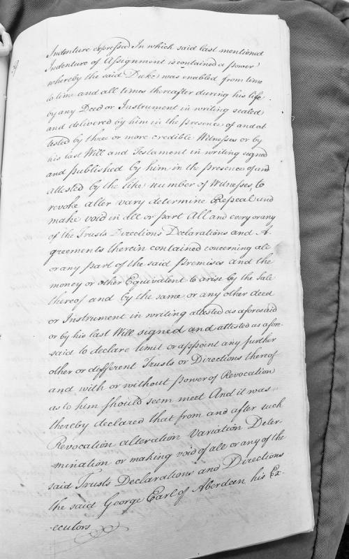
A legal document describing provisions in an indenture of assignment that granted a Duke powers to revoke, alter, vary, and determine trusts and directions concerning premises and proceeds from their sale. The document outlines procedures requiring sealed deeds or wills attested by witnesses, and the subsequent declarations regarding George Earl of Aberdeen and his executors.
A legal document detailing obligations regarding East India Bonds and indemnification. The document references an indenture dated April 6, 1756, and outlines the duties of Sir Charles Frederick and Edmund Hoskins (or their survivors) to manage and dispose of East India Bonds to effect indemnity.
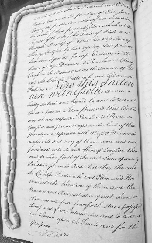
A legal indenture documenting the purchase and deposit of East India Bonds valued at twelve thousand pounds (part of a seventy thousand pound sum) with Messrs Drummond Bankers at Charing Cross. The document outlines the trust arrangements between Sir Charles Frederick, Edmund Hoskins, and John Duke of Athole and Charlotte Duchess of Athole (Baroness Strange), with provisions for succession through executors and administrators.
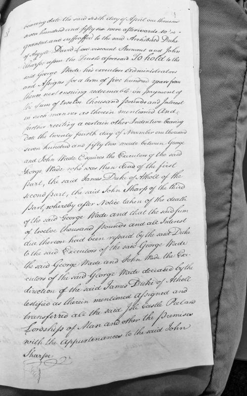
This document is an excerpt from a legal indenture detailing the conveyance and enfeoffment of the Isle of Man, Castle Peel, and associated lordships. It recites two key dates (April 6, 1756 and November 24, 1752) and describes the transfer of these properties from George Wade's executors to John Sharpe following repayment of a twelve thousand pound debt to the Duke of Atholl.
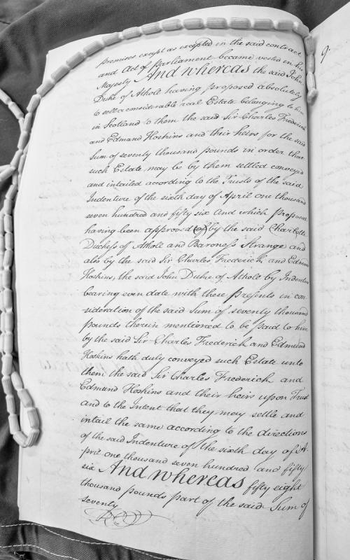
A legal document detailing the proposed sale of a Scottish estate by John, Duke of Athole, to Sir Charles Frederick and Edmund Hoskins for £70,000. The estate is to be settled and entailed according to the terms of an earlier indenture dated 6 April 1756, with approval from Charlotte, Duchess of Athole and Baroness Strange.
A 1417 indenture between commissioners of John de Stanley (Lord of Man and the Isles) and 24 keys of Mann (local magnates) establishing legal procedures for the extradition of felons who flee the lordship to baronial territories and penalties for baronial retention of such fugitives. Demonstrates early Manx constitutional structures and the tension between lordly and baronial authority.
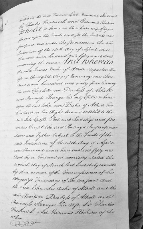
Fragment of a legal document detailing the vesting of Isle of Man properties (Isle, Castle, Peel, and Lordship) in trustees following the death of James Duke of Athole in 1764. The document references an original Indenture of April 6, 1756, and a subsequent contract dated March 7 involving Treasury Commissioners and the current Duke and Duchess of Atholl.
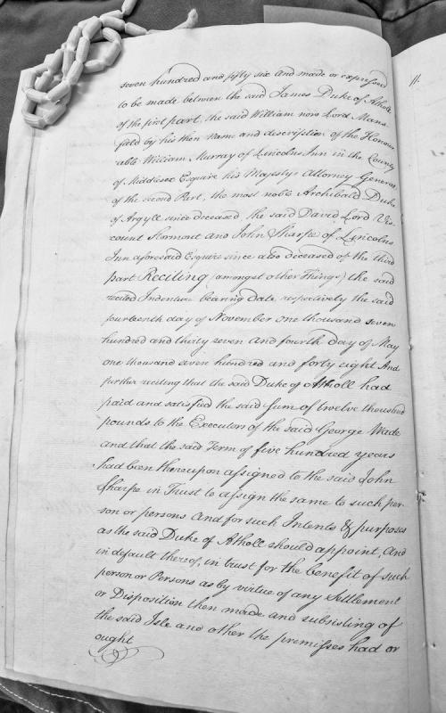
A legal document (page 11) reciting the terms of an indenture from 1756 involving James Duke of Atholl, William Murray (Lord Mansfield), and others concerning a twelve thousand pound payment and a five-hundred-year lease assignment related to the Isle of Man and its premises.
Fragment of a legal indenture dated 1756 concerning arrangements between James Duke of Atholl, William Murray (later Lord Mansfield), and others regarding a 500-year term and £12,000 payment to George Wade's executors. The document recites earlier indentures from 1737 and 1748 and details trust arrangements for the Isle of Man.
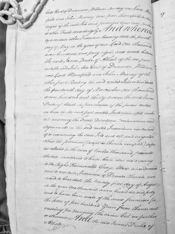
This is an extract from a legal document detailing indentures relating to the Isle of Man. It recites two key indentures: one dated November 14, 1737, and another dated May 4, 1748, concerning the transfer of trusts and property rights over the Isle and related premises between James Duke of Athole and various trustees including the Earl of Dunmore, Lord Mansfield, and John Murray.
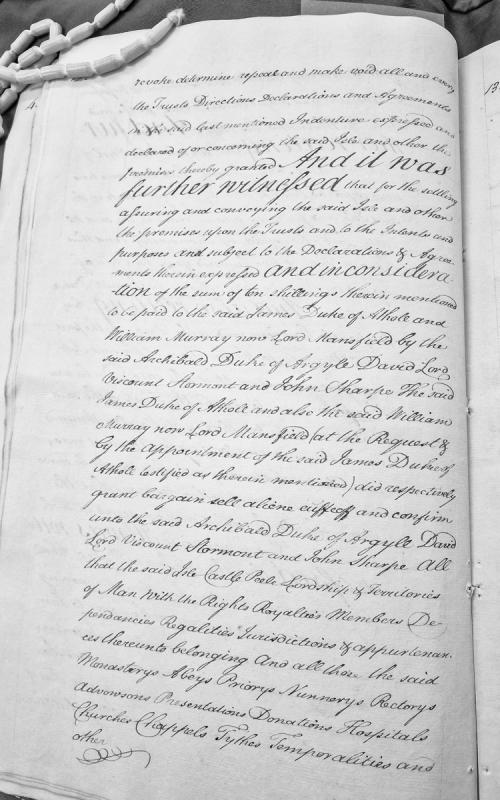
This is an excerpt from a legal indenture documenting the transfer of the Isle of Man, its castle at Peel, lordship, territories, and associated rights and properties. The document records the conveyance from James Duke of Athole and William Murray (Lord Mansfield) to Archibald Duke of Argyle, David Lord Viscount Stormont, and John Sharpe, in consideration of ten shillings and subject to specific trusts and declarations.
A 1417 indenture between commissioners of John de Stanley (Lord of Man) and the 24 keys (principal men) of Mann, establishing procedures for the extradition of felons who flee the lordship and penalties for barons who harbour them. This document demonstrates the constitutional and legal framework of medieval Manx governance and the relationship between the Lord and the keys, relevant to understanding the island's institutional structure before the 1765 Revestment.
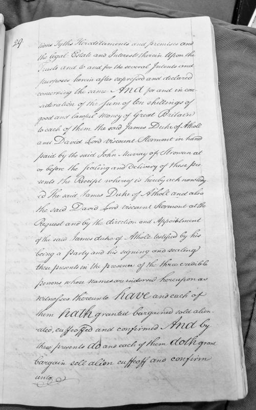
This is an indenture (legal deed) documenting the conveyance of tythes, hereditaments and premises from James Duke of Atholl and David Lord Viscount Stormont to John Murray of Strowan for the sum of ten shillings. The document establishes trusts and outlines the parties' mutual obligations regarding property transfer and legal interests.