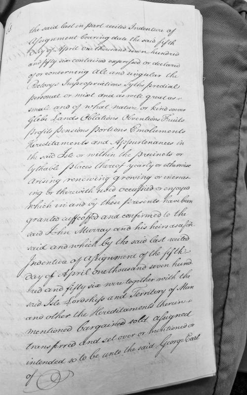
A legal document describing the terms of an Indenture of Assignment dated 5 April 1756, concerning the transfer of rectory rights, tithes, glebe lands, and various ecclesiastical properties and hereditaments in the Isle of Man. The document references the assignment of these properties to John Murray and subsequent transfer to George, Earl of [title incomplete].
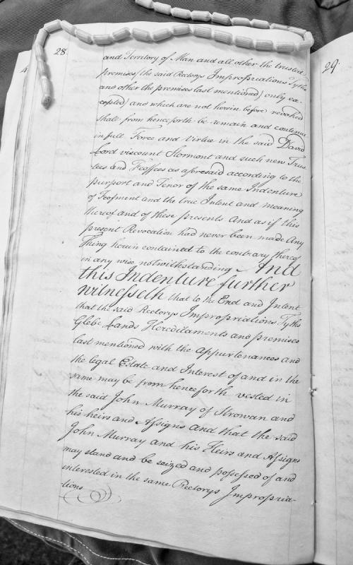
This is an excerpt from a legal indenture concerning the transfer and vesting of ecclesiastical property including rectories, impropriations, tithes, and glebe lands in the Isle of Man. The document deals with revocation of previous trusts and the establishment of new trustees and feoffees, with property to be vested in John Murray of Strowan and his heirs.
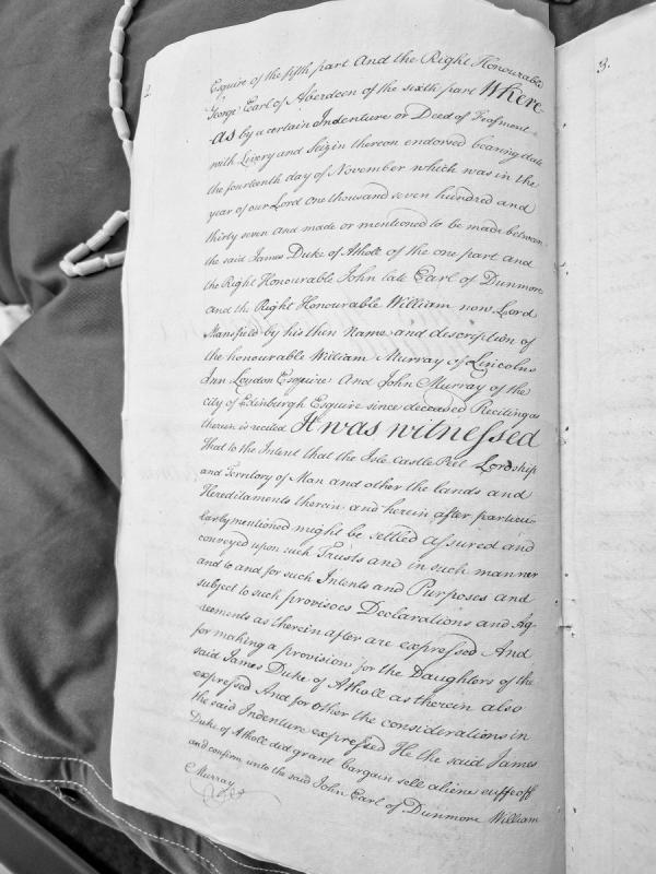
This is a formal legal deed (Indenture of Feofment with Livery and Seizin) dated 14 November 1737, concerning the settlement and conveyance of the Isle of Man, Castle Peel, Lordship and Territory, and associated lands and hereditaments. The document establishes trusts for the settlement of these properties and includes provisions for the daughters of James, Duke of Athole.
A 1503 apprenticeship indenture in which John Darse agrees to serve William Park for six years, receiving instruction in singing, music theory, organ playing, and disciplines of good manners. The Abbot of Rushen monastery provides annual financial support of 13 shillings 4 pence. This document demonstrates social structures, education systems, and economic arrangements in early 16th-century Isle of Man, providing context for pre-Revestment Manx administrative and ecclesiastical history.
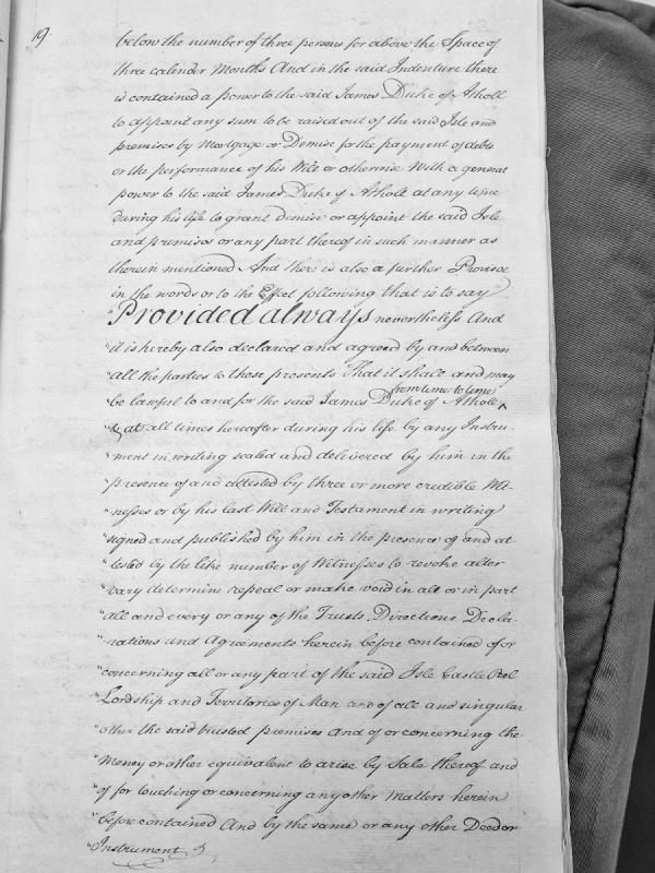
This is an excerpt from a legal indenture document detailing the powers granted to James Duke of Atholl concerning the Isle of Man, its castle at Peel, and associated lordship and territories. The document outlines his authority to raise funds through mortgage or demise, manage the property during his lifetime, and crucially, his power to revoke, alter, or modify the trusts and agreements contained within the indenture through written instrument or testament.
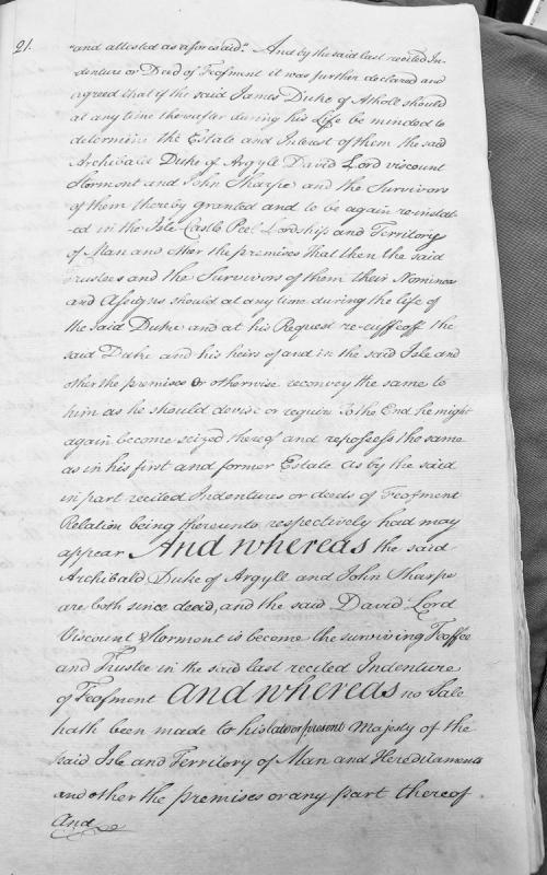
A legal document concerning a Deed of Feofment involving James Duke of Atholl and trustees (Archibald Duke of Argyle, David Lord Viscount Stormont, and John Sharpe) regarding the Isle of Man, its Castle, Peel, Lordships and Territory. The document details conditions for re-enfeoffment and reconveyance of the estate.
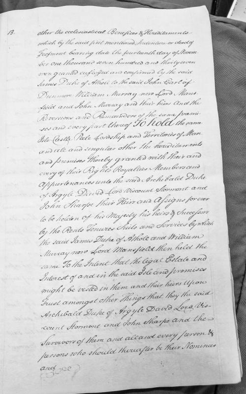
A legal document recording the transfer of the Isle of Man, Castle Peel, lordship, territories, and ecclesiastical hereditaments. References an original indenture dated 14 November 1737 between James Duke of Athol and various grantees including John Earl of Dunmore and William Murray (later Lord Mansfield), with reversions and remainders to be held by Archibald Duke of Argyle, David Lord Viscount Stormont, and John Sharpe in trust.
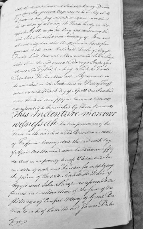
This is a legal indenture concerning the transfer of trusts related to the Isle of Man, its lordship and territory. It references an earlier deed of feoffment dated April 6, 1756, and discusses the appointment of new trustees (including James Duke) to replace Archibald Duke of Argyle and John Sharpe, with consideration of ten shillings paid to the trustees.
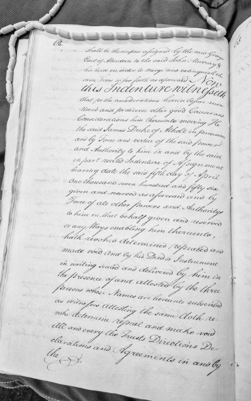
A legal indenture by which James Duke of Athole revokes and makes void all trusts, directions, declarations and agreements previously established, exercising powers granted to him by an earlier Indenture of Assignment dated 5 April 1756. The document involves John Murray and references assignment by the Earl of Aberdeen.
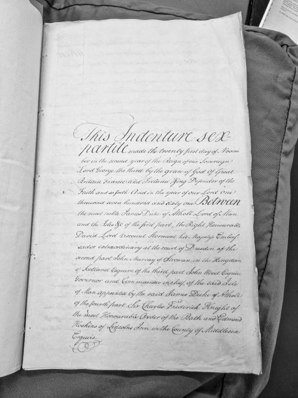
A formal indenture agreement dated November 21, 1761, involving six parties including James Duke of Atholl (Lord of Man and the Isles), David Lord Viscount Stormont (British Ambassador to Dresden), John Murray, John Wood (Governor of the Isle of Man), Sir Charles Frederick, and Edmond Hoskins. The document appears to be a significant legal instrument concerning the governance or administration of the Isle of Man.
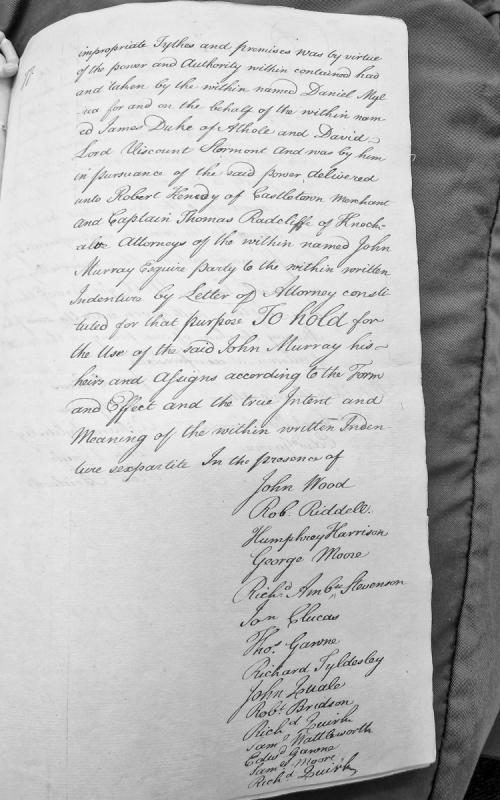
Fragment of a legal indenture documenting the transfer of impropriate tythes and premises by Daniel Mylrea on behalf of James Duke of Athole and David Lord Viscount Stormont to John Murray Esquire, delivered through his attorneys Robert Heney and Captain Thomas Radcliffe. The document is witnessed by fourteen named individuals.
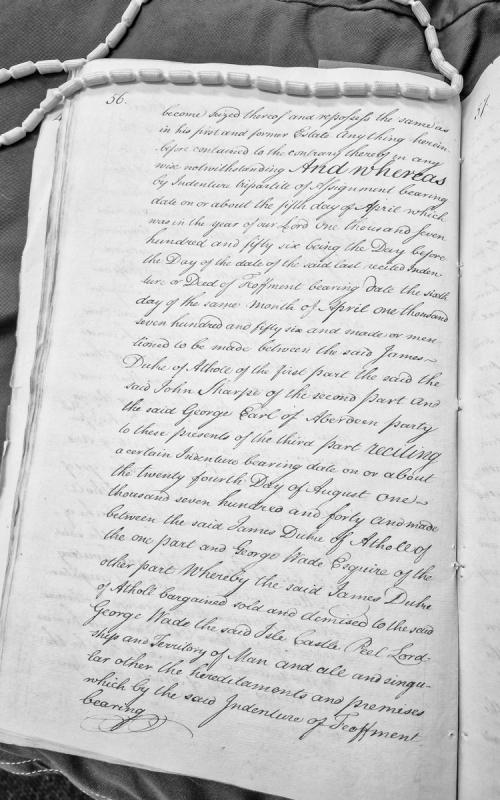
A legal document detailing property assignments related to the Isle of Man, referencing multiple indentures from 1740 and 1756. The document describes the conveyance and reposition of the Isle, Castle, Peel, Lordship and Territory of Man between James Duke of Athole, John Sharpe, and George Earl of Aberdeen.
For most people in the seventeenth-century British Isles, the Atlantic crossing was beyond their means. The passage from England to Virginia cost between five and six pounds, roughly a year's wages for a labourer. The solution was indentured servitude: a contract in which the emigrant agreed to work for a specified term, usually four to seven years, in exchange for the cost of passage, food, shelter, and clothing during the term. At the end of the indenture the servant received 'freedom dues,' which could include land, tools, clothing, or a sum of money. The system was not slavery, but it was not free labour either. Servants could be bought and sold during their term, could not marry without permission, and were subject to physical punishment. Runaways were hunted and had their terms extended. For people from small island communities like Mann, where the pass system restricted movement and economic opportunities were limited, indentured servitude offered a route to the colonies that required no capital. A person appearing as a 'headright' in a Virginia land patent may have been an indentured servant whose passage was paid by the patentee, a family member transported at a relative's expense, or a free person whose passage was sponsored by an investor. The record does not usually distinguish between them.
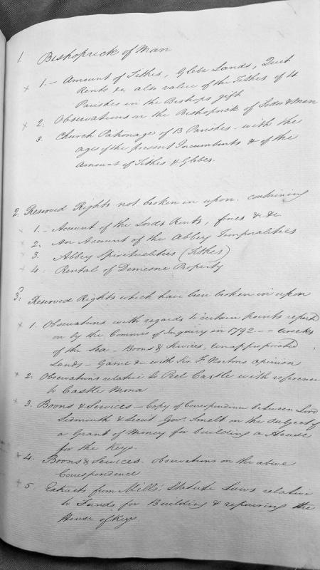
This is a table of contents or index listing various administrative and legal documents relating to the Bishoprick of Sodor and Man, Church patronage, Abbey temporalities and spiritualities, and reserved rights. The documents appear to address inquiries from 1792 regarding rights including wrecks, boons and services, game, and funding for the House of Keys.
A comprehensive index to volume HO 99/16 of Home Office papers sent to the Isle of Man governors and lieutenants-governor between 1765 and 1817. The index lists recipient, date, and summary of each document, covering administrative appointments, military matters, quarantine orders, smuggling prosecutions, and constitutional issues. Essential reference for tracking official correspondence and policy implementation post-Revestment.
A detailed calendar/index of Home Office papers (HO 99/16) sent to the Isle of Man governors and lieutenant governors between 1765 and 1817. Lists recipients, dates, and brief summaries of official correspondence relating to appointments, military matters, quarantine orders, revenue issues, and governance. This is a finding aid to the original documents held at the National Archives.
A comprehensive finding aid and catalogue to transcribed Home Office documents (SP 48 and HO 98 series) held at The National Archives, covering governance, administration, and revenue control on the Isle of Man during and after the 1765 Revestment period. The index includes references to governors, lieutenant-governors, revenue officials (notably Charles Lutwidge), and administrative correspondence from 1765 to 1840, with notes on archival location, coverage gaps, and transcription methodology.
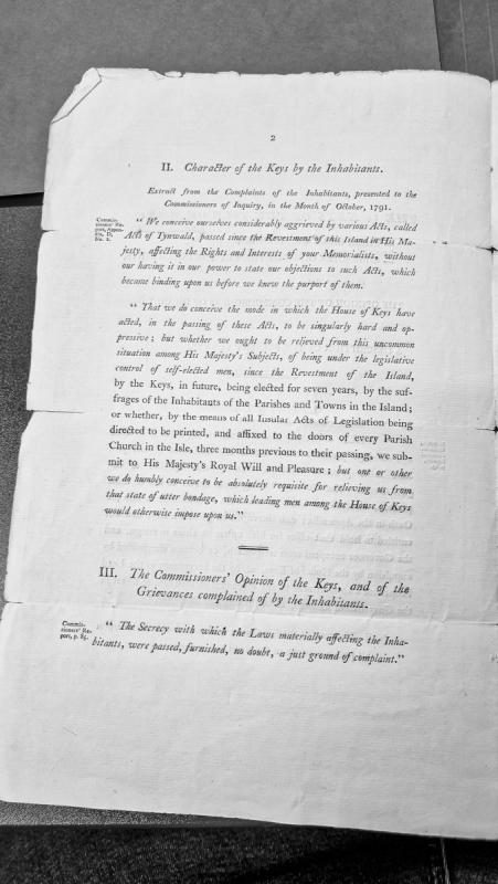
Extract from complaints presented by Isle of Man inhabitants to the Commissioners of Inquiry in October 1791, addressing grievances about Acts of Tynwald passed without public consultation or inhabitant input since the Revestment. Includes the Commissioners' response acknowledging the justness of complaints regarding the secrecy of law-making.
The site of a small lead mine, which was operating in 1867. Geological survey records identify it in the valley of the head-waters of the River Glass, 300 yards north-east of Injebreck House, where it is marked as "Lead a Mine" on early Ordnance Survey mapping. A trial was worked here between 1872 and 1876; Warington Smyth's 1874 account describes a shaft 22 fathoms deep with a short level to the east and a cross-cut to the south, which revealed only "mere specks of ore of no value."
The Medieval shieling at Injebreck consisted of twenty-three mounds of turf at the head of a valley. W. Cubbon led an excursion here in 1930 and two shieling mounds were excavated. Excavation at one of the mounds by Birmingham University in April 1961 revealed an oblong hut-site with turf walls and an internal measurement of about 3 metres by 2 metres. At the north end of the hut were two post holes which may have represented a doorway. Immediately inside the hut were a few irregular paving-slabs, but the inner part of the hut was unpaved, and largely taken up by a hearth. Outside the southern wall, and built against it, was an open-air hearth surrounded by a rough frame of stones. A two-phase corn-drying kiln, with turf walls, was excavated elsewhere on the site. The walls surrounded a small pen about 1 m square which may have been intended for penning geese. The only small find from the hut-site was a strike-a-light flint which did not help in dating the structure, but comparison with other shieling sites i.e. Block Eary suggests that Injebreck might be of an earlier date in the Norse period, possibly 11th century.