A group of about fourteen mounds were seen in May 1930 at Injebreck on land belonging partly to the Common Trustees and partly to Captain Spittall. Two of the mounds on Captain Spittall's property were partly excavated. The first indicated the presence of a surrounding stone wall, approximately circular, containing a floor covered with a quantity of carbon. The second, larger, mound showed no surrounding wall. In the trench which was cut east to west there were only a few stones laid flat-wise. In the centre was a 'pocket' of carbon, showing large pieces of burnt wood, and nearby was a knife-shaped flint flake, 4.5 centimetres long. Further, smaller pockets and layers of carbon were also found. Cubbon was of the opinion that the two mounds were 'possibly hut dwellings and of an early period'. Cubbon's report may refer to the Injebreck shieling settlement at SC 363856, or the settlements further north, centred SC 355875.
This obelisk memorial within the grounds of the Nunnery is generally regarded as the Isle of Man's earliest war memorial, commemorating Brigadier General Thomas Leigh Goldie, who was killed at the Battle of Inkerman in the Crimean War in 1854. A captured Russian gun was originally displayed in front of the obelisk; the obelisk itself was later damaged by a falling tree and has since been reconstructed, with sections remaining within the Nunnery grounds today. It has stood on the site for well over a century as a rare Manx monument to the Crimean War.
Crimean War. Stone obelisk.
A newspaper article in the Mona's Herald dated 11 August 1858 states that at the time of the memorial's construction, the Lieutenant Governor applied to the Secretary at War for one of the guns captured from the enemy at the Battle of Inkermann, in order that the gun might be placed at the foot of the monument in the Grounds of the Nunnery. A Russian gun was subsequently presented by Secretary Major General Peel. The Secretary also agreed that, for the sum of thirty pounds, he would authorise the construction of a gun carriage at the Royal Arsenal, Woolwich, in exact similarity to the Russian gun carriages employed in the late war.
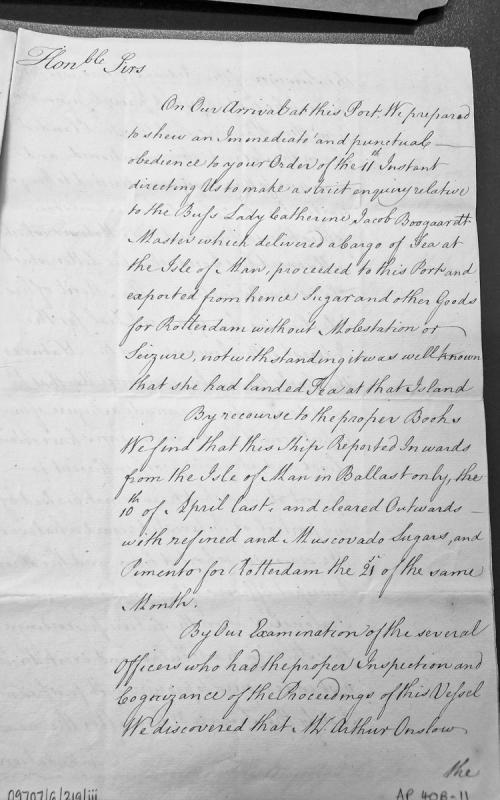
Official correspondence reporting on an inquiry into the ship Buss Lady Catherine, commanded by Jacob Boogaardt, which delivered tea to the Isle of Man and subsequently exported sugar and goods from port without seizure despite known tea landing. The document references official records and officer examinations.
A legal opinion from the Court of Wards regarding the dower rights of Anne, Countess Dowager of Derby, following Thomas Earl of Derby's death. The opinion establishes that the Isle of Man is not part of the English realm and therefore not subject to English law or Chancery jurisdiction, drawing comparisons to Normandy, Gascony, and Calais. This document is foundational to understanding the constitutional status of the Isle of Man as a separate jurisdiction.
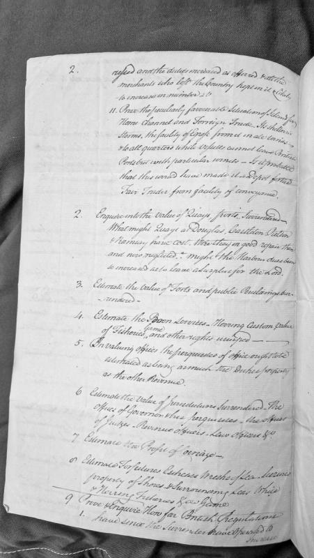
A numbered list of instructions or guidelines for estimating the value of various properties, rights, and revenues that were surrendered by the Duke of Atholl to the British Crown. The document addresses the valuation of quays, ports, forts, fisheries, offices, jurisdictions, coinage, and other feudal rights, with particular attention to lost merchant trade opportunities and the strategic position of the Isle of Man.
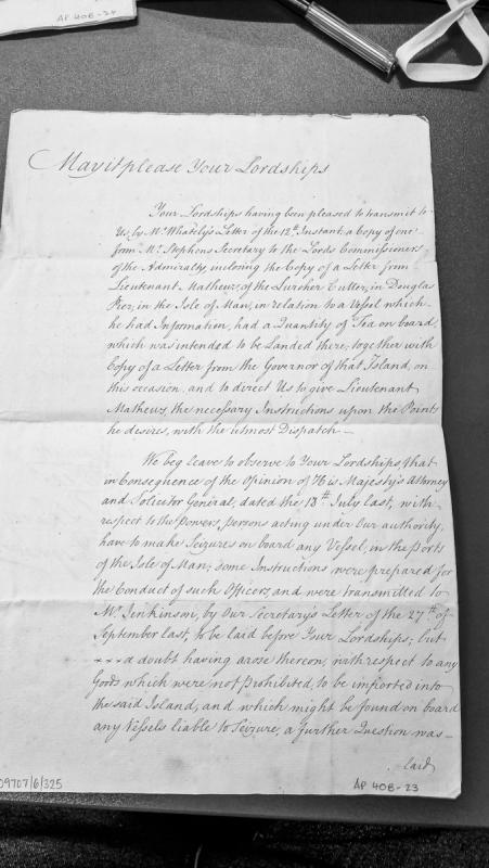
Official correspondence from revenue authorities to their lordships regarding instructions for Lieutenant Mathews of the Lurcher Cutter concerning seizure powers in Isle of Man ports. References an incident involving a vessel suspected of carrying tea for illegal landing, and discusses legal opinions on seizure authority and procedures.
Formal instructions from the Commissioners of Customs to Charles Lutwidge, Surveyor General, detailing his appointment to the Isle of Man effective 1 June 1765 to enforce customs law and suppress smuggling. Covers revenue protection, coast surveillance, officer deployment, population assessment, and coordination with military and civil authorities. A key administrative document implementing the 1765 Revestment Act.
Official instructions from the Commissioners of Customs to Charles Lutwidge, directing him to travel to the Isle of Man by 1 June 1765 to establish customs enforcement and suppress smuggling following the 1765 Revestment. The document outlines his authority, duties (revenue assessment, port inspection, officer deployment), expectations regarding population decline, and military support arrangements.
Royal instructions from King James I (15 Jas I) establishing William Lord Compton as President of the Council of Wales and Marches, dated November 1617. Lists prominent councillors including bishops, earls, and chief officers of state. Notable for inclusion of the Bishop of Mann among the royal commissioners, demonstrating early Stuart administrative integration of the Island with English governance structures.
Royal instructions from King James I (15 Jac. I) establishing governance procedures for the Lord President and Council of Wales and the Marches. Notably includes John, Bishop of Mann, among the named counsellors, illustrating the Isle of Man's constitutional position within English royal authority and the participation of Manx ecclesiastical figures in Westminster-level governance structures during the early 17th century.
Illiam Dhone chose the Island over the Earl. The surrender, the Parliamentarian occupation, the Restoration, the trial, the execution at Hango Hill — and the parish register that recorded his death as a martyrdom. The Privy Council Orders and Derby correspondence revealed London's hand. Bishop Wilson arrived in 1698 and began the episcopate that would transform Manx education and church life. The Act of Settlement of 1704 codified the relationship between lord and people, defining the custodianship that Parliament would later purchase without understanding.
3 names listed, all had been serving members of the Isle of Man Constabulary; First World War. Plaque with wooden border on its lower; left-hand and right-hand side. Inscriptions in gold lettering.
Island of the Inner Hebrides with long ecclesiastical and political connections to the medieval Kingdom of Mann and the Isles.
Manx antiquarian writers repeatedly used the monuments of Iona when comparing the material culture of Mann with that of the western islands. A note in the first volume of the Manx Society observed that the single-masted ship shown on medieval Manx royal seals had parallels on the monuments of the Lords of the Isles at Iona, including the tomb of Lachlan MacKinnon dated 1489.
Iona also appears in discussion of the medieval diocese of Sodor and Man. A nineteenth-century account described the bishopric as embracing Mann and the Southern Isles during the period of Norwegian rule. After political control of Mann and the Hebrides separated in the later fourteenth century, the same source states that the clergy and people of Mann and those of Iona and the Western Isles chose separate bishops.
The Manx Society account dated this division to around 1380, when England controlled Mann while Scotland held the Hebrides. It associated the western bishopric thereafter with the title Bishop of the Isles, while the Manx see retained the title Sodor and Man.
These explanations reflect nineteenth-century reconstruction of a complicated medieval ecclesiastical history, but the surviving comparison shows how closely Iona and Mann were understood within the same western maritime world.
Island of the Inner Hebrides with long ecclesiastical and political connections to the medieval Kingdom of Mann and the Isles.
Manx antiquarian writers repeatedly used the monuments of Iona when comparing the material culture of Mann with that of the western islands. A note in the first volume of the Manx Society observed that the single-masted ship shown on medieval Manx royal seals had parallels on the monuments of the Lords of the Isles at Iona, including the tomb of Lachlan MacKinnon dated 1489.
Iona also appears in discussion of the medieval diocese of Sodor and Man. A nineteenth-century account described the bishopric as embracing Mann and the Southern Isles during the period of Norwegian rule. After political control of Mann and the Hebrides separated in the later fourteenth century, the same source states that the clergy and people of Mann and those of Iona and the Western Isles chose separate bishops.
The Manx Society account dated this division to around 1380, when England controlled Mann while Scotland held the Hebrides. It associated the western bishopric thereafter with the title Bishop of the Isles, while the Manx see retained the title Sodor and Man.
These explanations reflect nineteenth-century reconstruction of a complicated medieval ecclesiastical history, but the surviving comparison shows how closely Iona and Mann were understood within the same western maritime world.
Ireland is the neighbouring island to the west of the Isle of Man, separated by the Irish Sea. The relationship between the two islands has been close throughout history, with extensive cultural, linguistic, and trading connections. Manx smuggling severely affected Irish revenues during the eighteenth century, contributing to Ireland's support for the Revestment, and the annuity granted to the Duke of Atholl after 1765 was charged upon the Irish revenue.
Irish revenues paid for the Island long before that. When Reginald, King of Mann, did homage to King John in 1205, the charter provided that he should receive a knight's fee of two tuns of wine and a hundred and twenty quarters of corn yearly out of Ireland.
The two islands' governors overlapped. Sir John Stanley the first, the first Stanley Lord of Man, was appointed Governor or Lieutenant of Ireland by Richard II about 1379, held the office until 1389, and was made Lord Justice of Ireland in 1390. A band of Irish under Richard de Mandeville ravaged the Island in 1316.
The Irish saints made the Island Christian. St Patrick converted it about 447 and left Germanus as its bishop. St Maughold came ashore from Ireland in a leather boat with irons on him and became bishop by the suffrage of the Manx nation. St Bridget came over to take the veil from Maughold, and the Nunnery at Douglas was ascribed to her.
Trade policy set the two against each other. Lord North spoke against admitting the importation of cotton into Ireland, and Ireland's obtaining the privilege of exporting cotton yarn in 1778 is one of the circumstances Manx economic historians cite when they come to the Island's own short-lived cotton trade.
This stone was found built into the northern wall of the church during the 1800s. One face bears a six-armed or hexafoil cross set within a circular frame, all drawn with the aid of a pair of compasses. Below the cross are two other simple crosses. A heavily abbreviated inscription using Irish-Saxon letters is set in the frame. Allowing for the abbreviations and some grammatical errors, it appears to translate, '(In the name of Jesus) Christ, Irneit, holy priest, God's bishop in the Island and abbot'. Either side of the two lower crosses are further inscriptions which read, 'In the name of Jesus Christ' and 'The image of the cross of Christ'.
Iron Gate is one of the Billown Circuit's named corners with a documented racing history: Wikipedia's article on the circuit records a fatal accident there in 1994 (Rob Harrison) and a further two in 2006, when both Tony Smith and Barry Pepperrell were killed at the same corner.
Island of the Inner Hebrides which appears in Manx antiquarian writing through the medieval history and heraldry of the Kingdom of the Isles.
A paper published by the Manx Society in 1860 compared the heraldry of western Scottish families with that of Mann. Its author noted that the MacDonalds, described there as the earliest chiefs of Islay and early Lords of the Isles, did not quarter the Manx Three Legs with their own arms.
The paper used this absence, and the different heraldry of branches of the MacLeods, in an attempt to reconstruct relationships between the rulers of Mann and the western islands. It associated the period of common rule with the Scandinavian kingdom and with the conquest of Magnus Barefoot.
The same author contrasted Manx carved stones with stones in Iona and, more tentatively, Islay, on which the ship or lymphad appeared.
These arguments are nineteenth-century antiquarian interpretation rather than direct medieval evidence and should be read as such. The current evidence pack does not provide a sufficiently precise Manx-connected narrative of Islay's own political history to support a broader description.
The Isle of Man is a self-governing Crown Dependency in the Irish Sea between Great Britain and Ireland. With its own parliament (Tynwald), legal system, and cultural identity shaped by Celtic, Norse, and English influences, the Island has a distinctive history encompassing the Norse Kingdom of Mann and the Isles, the Stanley and Atholl lordships, and the Revestment of 1765 that brought it under direct Crown control.
A 2020 progress report to the Isle of Man Council of Ministers on the implementation of the National Development Strategy for Culture and the Arts. Documents achievements and ongoing projects in arts funding, cultural engagement, digital innovation, and creative sector support during the COVID-19 pandemic. While contemporary rather than historical, it reflects current Manx cultural institutions and governance structures relevant to understanding the modern administrative context.
The Isle of Man has competed as its own team at every Commonwealth Games since its debut at the 1958 British Empire and Commonwealth Games in Cardiff, where cyclist Stuart Slack won bronze in the men's 120-mile road race. The island, whose Commonwealth Games Association fields a team distinct from Great Britain despite not being an independent state, has historically been strongest in cycling and shooting.
This striking Athol Street building was built in 1902 as the new head office of the Isle of Man Banking Company, designed by the architect Alexander Marshall Mackenzie. The bank had already been established locally for decades, having opened its Douglas office in Athol Street on 1 November 1865, and it was renamed the Isle of Man Bank Ltd in 1926. The 1902 head office marked a major statement of the bank's standing in Douglas's financial district, in a street that was and remains the centre of the island's banking and legal business.
The Isle of Man Bank Ltd. Building at 2 Athol Street, Douglas is a three storey stone building, which occupies the focal location at the intersection of Athol Street and Prospect Hill. Although the design integrates a number of architectural styles it succeeds in establishing a banking 'image' which is carried through into a finely detailed interior banking hall. The treatment of the facade consists of almost equal proportions of pilaster columns and wall panel separating them. The columns however are carried the full height of the building with no attempt to suggest into a finely detailed interior banking hall. The treatment of the facade consists of almost equal proportions of pilaster columns and wall panel separating them. The columns however are carried the full height of the building with no attempt to suggest that they support anything (not even the roof balustrade). Similarly although the window openings are confined to the 'panels' the stone facing to the building receives the same detailing regardless of whether it is on column or panel. The main entrance placed at the corner is similarly mannerist, using a larger version of the window motif to announce the doorway, on top of which are columns in the round apparently unsupported from below but indicating support for the cornice above. The building appears in good repair as befits its image. Although lacking in architectural merit the building personifies the Manx banking establishment and as such has 'civic' significance.