Medieval burial ground. The site was investigated by the Manx Archaeological Survey (1915).
The chapel stands within a slightly raised area, which the Survey took to represent a cemetery earlier than the present parish graveyard: lintel graves and unlined inhumations were noted, and two carved stone crosses recovered.
A slab which was the covering stone of a lintel grave. It has a cross with a circle incised on one face. It was found at North Keeill in 1894 and is now kept in Maughold Cross House (Manx Cross No. 24). The slab measures 93.5 centimetres high x 32.5 centimetres maximum width and 4 centimetres thick.
The North Quay Pavilion consists of a cast iron pavilion with glazed walls and a slate roof. The expression of the structural frame is functional and the elaborate detailing of nonstructural panels creates a human scale It has an 'atmosphere' appropriate to tourism. The entrances are marked by decorated protruding canopies and the upper level of the roof is broken for a ventilation ridge chamber again marked by an elaboration of ornament at the eaves and ridge. The interior has not been inspected. There are no visual signs of structural deterioration although the building appears neglected and it is understood that the roof leaks. Many of the panels are in need of replacement although the present use of the building as an amusement arcade masks any potential of quality to the casual observer. It is suggested that there are no other comparable buildings of this architectural type on the island and that there is an architectural quality of expression worth preserving.
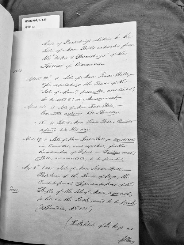
A chronological record of parliamentary proceedings regarding the Isle of Man Trade Bill during April-May 1825, extracted from House of Commons Votes and Proceedings. Documents the bill's progression through parliamentary stages including first reading, committee deferrals, and committee consideration, along with a petition from the House of Keys opposing the bill.
This is an administrative note referencing a Governor's order dated 18th June 1761 concerning a return document. The note indicates that a copy of the Governor's order is located on the following page. The upper portion of the document is partially obscured and cut off in the image.
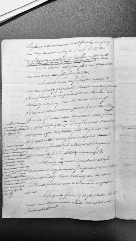
A fragmentary manuscript discussing the governance and economic development of the Isle of Man, with criticism of the proprietor's engagement with the populace and clergy. The text advocates for improved infrastructure (roads) and agricultural methods, and references separate papers on estate management and funding.
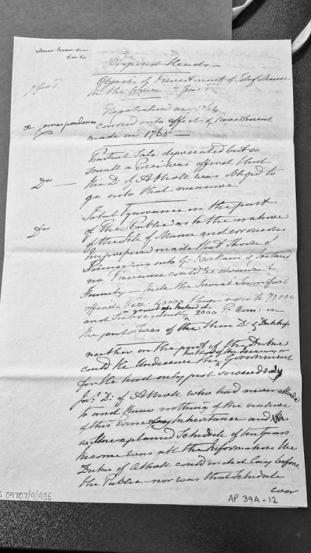
Draft notes outlining proposed discussion points regarding the revestment of the Isle of Mann to the Crown, including historical negotiations (1764-1765), contract details, and issues surrounding public understanding of Mann's revenue potential and smuggling concerns.
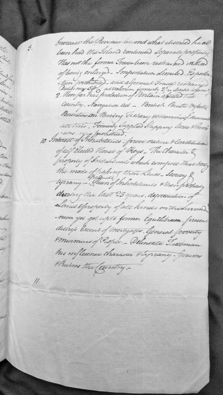
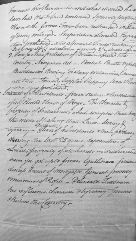
A series of numbered points (9-11) outlining arguments regarding revenue changes, trade restrictions under British protection, and criticisms of the House of Keys governance structure. The document appears to be draft notes or an outline for a petition or legal argument concerning the economic and political condition of the Isle of Man over the preceding 25 years.
A manuscript document containing notes or outline points concerning the economic impact of union with Britain on the Isle of Man, including analysis of trade restrictions, duties, and navigation acts. The document also addresses grievances regarding the House of Keys governance structure, land depreciation, and the alleged tyranny of an individual (Taubman) over the past 25 years.
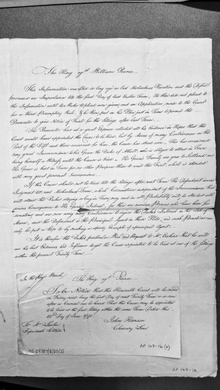
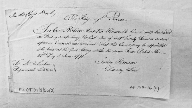
A notice of motion filed in the King's Bench court regarding a case between the King and Pearce. The motion requests that the court appoint the cause for trial at the first sitting of Trinity Term, with the hearing scheduled for Friday, the first day of Trinity Term 1791.
A notice to the defendant's solicitor informing that the King v. Pearce case will be moved before the King's Bench court on the first day of the next Trinity Term (or as soon after as counsel can be heard) for appointment of trial. The notice is dated 22 June 1791.
The findspot of a Mesolithic flint scatter. The flints were collected from the surface, where they had been disturbed by rabbits burrowing. The finds include one core and four blades and flakes. They are now kept in the Manx Museum.
Modern horsewalk.
The Ordnance Survey First Edition 1:2500 map of 1868 shows a horsewalk at this location.
This 19th century horse walk was formerly roofed. It is now demolished.
Modern watermill.
The Ordnance Survey 1:2500 First Edition mapping of 1867-8 depicts two watermills at this location, annotated as 'Nunnery Mill (Corn)'.
Modern watermill.
The Ordnance Survey 1:2500 First Edition mapping of 1867-8 depicts two watermills at this location, annotated as 'Nunnery Mill (Corn)'.
The grid reference relates to the more westerly mill.
Modern watermill.
The Ordnance Survey 1:2500 First Edition mapping of 1867-8 depicts two watermills at this location, annotated as 'Nunnery Mill (Corn)'.
The grid reference relates to the easterly mill.
Modern weir.
The Ordnance Survey 1:2500 First Edition mapping of 1867-8 depicts a weir at this location, from which water was drawn off the River Douglas to power the Nunnery Mill.
A modern weir now stands in this location.
Modern mill leat.
The Ordnance Survey 1:2500 First Edition mapping of 1867-8 shows a mill leat leading water 380m from the River Douglas to power the Nunnery Mill.
The leat is traceable throughout its length, but only contains water for the first 240m, at which point a sluice empties back into the river.
The grid reference is located at the midpoint of the mill leat for indicative purposes.
Modern tail race.
The Ordnance Survey 1:2500 First Edition mapping of 1867-8 shows a short tail race leading water from the Nunnery mills back into the River Douglas.
The tail race is infilled and the riverbank now obscured by modern river defences.
Oakleigh House is a large detached residence, constructed of red brick which is exposed at the ground floor. The treatment of the second floor varies from the front, where half timbered gables create a picturesque facade, to vertically hung red tiles at the rear and sides from which viewpoints the house has a much more massive appearance. The whole is co-ordinated by a red tile roof punctuated by dormers and Jacobean chimneys. The rear elevation is marked by a heavy two storey octagonal bay window on the north east corner and a projecting tile roofed porch extending along the balance of the garden facade to greenhouses. Although the interior was not inspected it is understood that there is an amount of built-in furniture in one Dining Room and a fine French medieval style carved stone fireplace in the hall. The property seems to be well maintained and has remained in a condition close to the original as regards its external appearance. The building has architectural significance in that it is one of the few examples of design by Baillie Scott, an internationally recognised architect. The style is again a blend of 'shingle' and pseudo Tudor but imaginatively resolved. The siting is somewhat cramped to the front but expansive to the rear.
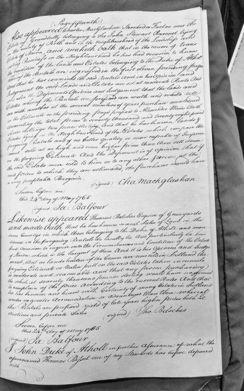
This document contains sworn testimonies from Charles MacGlashan (Steward of Grandtully Estate) and Thomas Belsches (Esquire of Greenyards) regarding the valuation and rental conditions of lands and estates belonging to the Duke of Atholl in Scottish counties. The document provides expert opinions on property values, comparable sales, and rental rates, estimating total estate value at £70,028 7s 2d sterling.
This document presents two versions of the oath administered to members of the House of Keys (Manx parliament): the pre-Revestment oath sworn to the Duke of Atholl, and the post-Revestment oath sworn after British Parliamentary sovereignty. The comparison illustrates the constitutional shift from ducal to Crown authority and the removal of feudal allegiance to the Atholl family.