Medieval shieling.
A number of shelters have been constructed within, and using, the collapsed stonework from the outer rampart, particularly on the north-east, east and south-east side of the hill (and thus protected from the prevailing wind).
They appear to be evidence for later seasonal use of the site as a shieling in the medieval period.
Bronze Age hillfort.
The summit is crowned by an irregular oval enclosure measuring approximately 130m E-W and 100m N-S. Excavations have shown that the enclosure was defined by a rampart of earth and turf faced on the exterior by a wall with a shallow ditch outside. A series of postholes set at irregular angles in front of the ditch may have contained sharpened timber stakes inclined outwards forming a defensive work known as a 'chevaux de frise'.
The inner rampart encloses an oval space a maximum of 130m across. Within it are the remains of more than 70 roundhouses, from which Bronze Age pottery and radiocarbon dates have been gained. All of the buildings appear to respect the rampart, implying that this was built first.
Bronze Age defended settlement.
The summit is crowned by an irregular oval enclosure measuring approximately 130m E-W and 100m N-S, defined by an inner rampart of earth, turf and stone.
Within the rampart are the remains of more than 70 roundhouses. It is not clear if all were contemporary. Some share walls with their neighbours, suggesting the grouping together of the dwellings, stores, workshops and animal houses of family or kin.
Excavation of three roundhouses showed that the walls were constructed from turf and stone. Doorways faced east, the sunken floors were roughly paved using local slate, and a central hearth in one provided a radiocarbon date of around 500 BC. Pottery from the roundhouses has also been dated to the late Bronze Age/early Iron Age.
All of the buildings appear to respect the rampart, implying that this was built first.
Iron Age hill fort on the summit of South Barrule, Manannan's seat. The place where rushes were carried at midsummer to pay rent to the old god. The archaeological remains of the fort are overlaid with centuries of ritual significance. The hill connects the pre-Christian, the Norse, and the constitutional traditions of the Island in a single landscape feature.
Bronze Age - Iron Age hillfort. The highest summit in the south of the Island is crowned by a hillfort consisting of a pair of roughly concentric earthworks, 20-30m apart. They are least impressive on the western side of the hill where the steep slope and rock outcrops provide a measure of natural defensibility.
Excavations have shown that the inner rampart was an earth and turf bank faced on the exterior by a wall with a shallow ditch outside. A series of postholes set at irregular angles in front of the ditch may have contained sharpened timber stakes inclined outwards forming a defensive work known as a 'chevaux de frise'.
The inner rampart encloses an oval space a maximum of 130m across. Within it are the remains of more than 70 roundhouses. It is not clear if all were contemporary. Some share walls with their neighbours, suggesting the grouping together of the dwellings, stores, workshops and animal houses of family or kin.
Excavation of three roundhouses showed that the walls were constructed from turf and stone. Doorways faced east, the sunken floors were roughly paved using local slate, and central hearths provided a radiocarbon date of around 500 BC. Pottery from the roundhouses has also been dated to the late Bronze Age/early Iron Age. All of the buildings appear to respect the rampart, implying that this was built first.
The outer rampart is the more substantial and obvious of the two because of its exposed stonework. The excavator suggested that the inner rampart was partially dismantled to provide material. The outer rampart was revetted on the inside by a turf bank, and on the outside by an almost vertical stone wall. Today the wall stands to a height of almost 2m, but the amount of fallen material suggests that it would originally have been significantly higher.
Recent survey and geophysical prospecting suggests that the most likely entrance through the outer defences lay on the western side, where two lengths of the rampart overlap, creating a defensible passageway.
A Neolithic roughened-butt axehead of Ronaldsway type and 'of exceptional size' was found and donated to the Manx Museum in 1923 by Canon Quine (Accession No. 1954-0581). Worked flints were also found by Cowley ' some inches under the scraggy heather' at an altitude of about 244 metres. Above this level no worked flints were discovered. It is believed that these finds are evidence of a Neolithic settlment in the vicinty.
Spain is a country in south-western Europe. Its connection to the Isle of Man includes the broader European trading networks in which Manx merchants participated, and the military conflicts of the early modern period in which the Island's strategic position in the Irish Sea was of significance.
Manx Gaelic is closer to Irish than to any form of English. It was the everyday language of the island until the nineteenth century. The last native speaker, Ned Maddrell, died in 1974 — but the language didn’t die with him. It’s being taught again, spoken again, lived in again.
Learn ten Manx words and phrases:
Cronk-y-Keeillown — the old name for Tynwald Hill. Raad Mooar Ree Gorree — the Milky Way, named after King Orry. Bollan bane — the mugwort gathered at midsummer. Mooinjer veggey — the little people. Hop-tu-Naa — the old New Year’s Eve. Laa Mie — Good day. Ny tree cassyn — the Three Legs. Mannin — the Isle of Man. Ellan Vannin — Island of Mann. Traa dy liooar — Time enough.
Say them out loud. Teach them to someone else. A language lives when people speak it.
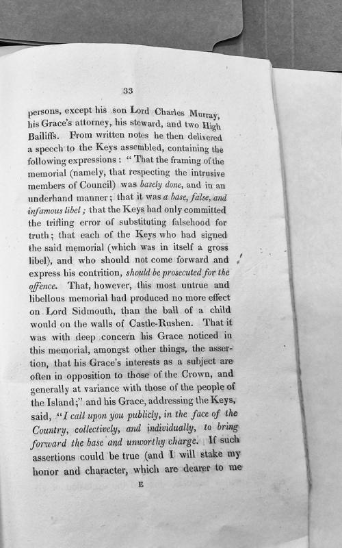
A recorded speech delivered to the House of Keys assembly, likely by the Governor or a senior official (possibly Lord Sidmouth or related figure), responding to a memorial submitted by Keys members regarding intrusive Council appointments. The speaker denounces the memorial as false and libelous, threatening prosecution of signatories who do not recant, and challenges accusations that his interests conflict with those of the Crown and people.
The site of an early medieval keeill or chapel and burial ground, which would have been in use during the period circa AD500 to AD1000.
The Ordnance Survey recorded a description based on field observations; 'In a field to the immediate SE of Speke is pointed out the site of an ancient Chapel and Burial Ground. A number of stone lined graves are to be seen in the road running past the East end of the field, and during the construction of the road a large quantity of human bones were found. There is no tradition regarding the spot.'
Lintel graves have been discovered on the site at different times. In 1909, Mr R Lace examined fourteen of these, which were of the usual character, and in one of them were remains of two adult skeletons. He tried to ascertain the original size of the cemetery; the boundaries were gone but he found from the position of the burials that it had been about 180 metres in diameter. Geophysical survey has now defined the burial ground more accurately. A single lintel grave containing a fairly well-preserved skeleton was excavated by L.S. Garrad.