The church stands at the centre of the farmyard with its east gable facing the road. Its most obvious feature is the now-blocked east window, only part of which survives above a later doorway; the surviving original dressed stonework defines a Gothic window. The original roof profile is also visible in the gable, and can just be seen in the stonework below the verges.
Inside, the creation of the doorway in the east gable has removed any evidence for an altar, though a recess where the south wall meets the gable almost certainly marks the position of a piscina. Door and window openings in the north and south walls have the shouldered lintel known as a 'Caenarvon arch', other examples of which may also be seen at Castle Rushen and the Monks' Bridge.
The west end of the building has been rebuilt, so the dressed stone surrounding a door and window in the west gable may not be original. The entire structure now measures about 19 by 7m, but due to the reconstruction of the west end it is not known whether this reflects the proportions of the original building.
The Friary Church is the only surviving building of the former religious house of Bemaken, and the other farm buildings are of various later periods. The church has a modern slate roof and is now used as a store. A plaque on the outside wall states that it is a protected monument.
Graves were reportedly discovered in the 1920s by a farmer at the Friary though their location was never formally recorded. From the description, '40 to 50 yards west of the church', they would appear to have been located where an area of trees stood until cleared in the 1970s. the area is now occupied by an agricultural building and farmland.
Medieval enclosure.
According to accounts prepared less than twenty years before the dissolution came into force on the Isle of Man, Bemaken Friary was recorded as holding a 'quarter of land comprising 40 acres enclosed by a ditch'.
J.K. Barratt in 1964 suggested that the course of the stream just to the north of the friary was likely to have been little changed since medieval times, and also noted that a substantial ditch, nearly a metre wide and lined with flagstones, had once lain approximately parallel, to the SE: the distance between the two watercourses is about 450 - 460m. He proposed that, assuming the main road was on the line of a medieval boundary, that the friary's 40-acre holding could have been accommodated within the space formed by these three features, with the fourth side of an irregular rectangle lying about 360 - 370m SW of the road.
The stone-lined ditch to which he referred is now piped under ground for much of its length. It should be noted that the antiquity of the main road past the friary is unknown. It may also be of interest to note that the Friary farm quarterland in 1865 amounted to 140 acres.
The grid reference provided lies at the centre of Barratt's notional landholding.
This pillar-shaped stone was found at Bemaken Friary (IOMHER 0011.00) where it was noted at least as early as 1885 built into the south wall of the friary church, where it had probably been re-used as a lintel. Once recovered it was found to be incomplete, the upper end being broken off. It bears an incomplete ogham inscription running up one edge, which reads, 'Cunamagli maq?', translated as '(the stone) of Cunamaglus, son of?'. It is now displayed in the Manx Museum.
This rounded granite boulder was found at Bemaken Friary (IOMHER 0011.00). Its precise findspot is unknown, but a local tradition reports that it was found in a field bank on the boundary between the Friary and the neighbouring farm of Ballaclague lying to the north-west. The stone bears a simple ogham inscription which spells the name, 'Macleog', from which the modern Manx surname 'Clague' is derived. The stone is now displayed at the Manx Museum.
Benjamin Franklin (1706-1790) was an American polymath, diplomat and Founding Father. His connection to the Isle of Man relates to the broader political context of the Revestment era and the American colonial dispute, with correspondence in the Island's archives touching on transatlantic trade and the rights of self-governing territories.
Letter from Benjamin Franklin in London to Isaac Norris in Philadelphia reporting on Parliamentary and Board of Trade proceedings relating to Pennsylvania colonial affairs, including the Indian Trade Act, proprietary disputes, and publication of the Historical Review. Discusses smuggling-adjacent trade regulation issues and constitutional tensions between Assembly and Proprietors.
Letter from Benjamin Franklin in London to Joseph Galloway regarding Pennsylvania Assembly business before the Privy Council, including presentation of colonial laws and financial advice on British stocks. Discusses the Proprietor's opposition to Pennsylvania legislation and investment strategy during wartime.
Letter from Benjamin Franklin, Pennsylvania's agent in London, to Speaker Thomas Leech and the Assembly Committee of Correspondence, detailing legal proceedings before the Attorney and Solicitor General regarding William Smith's petition against the Pennsylvania Assembly, and Board of Trade hearings on Assembly acts. Discusses constitutional issues of parliamentary privilege, the scope of colonial assembly powers, and proprietary interference with provincial governance.
Benjamin Franklin reports to the Pennsylvania Assembly Committee of Correspondence on legal proceedings regarding William Smith's imprisonment by the Assembly, the status of an Attorney General's report, and strategic advice on constitutional issues arising from potential direct Crown governance. Includes discussion of legal opinions on Assembly privileges and a planned propaganda work to improve the colonies' reputation in Britain.
Letter from Benjamin Franklin in Paris to Thomas Walpole in London discussing Franklin's financial interest in the Walpole (Grand Ohio) Company, his request for reimbursement of £200 for two shares, and prospects for the Company's land claims in Virginia. Includes extensive editorial commentary examining the tension between Franklin's role as American diplomat and his private interest in western land speculation.
Letter from Benjamin Franklin in Paris to Thomas Walpole in London concerning Franklin's financial claims and shares in the Walpole (Grand Ohio) Company, written during the American Revolution. Includes extensive editorial commentary on Franklin's involvement with western land speculation, his role as diplomat, and potential conflicts of interest regarding territorial claims. Contextualizes Franklin's business interests against his diplomatic negotiations and Congressional peace commission work.
A substantial letter from Benjamin Franklin to his son William Franklin, written in London on 14 July 1773, discussing the Pratt-Yorke legal opinion on Indian land grants, Franklin's evolving theory of settlers' rights to acquire territory independently of Crown sovereignty, land speculation schemes (particularly the Walpole Company and Retribution Grant), political intrigue with Lord Hillsborough, and personal and family matters. The letter provides critical evidence of Franklin's radical constitutional thinking regarding colonial independence and his involvement in western land speculation.
Bergen is a port city on the west coast of Norway. As the Isle of Man was part of the Norse Kingdom of Mann and the Isles from the ninth to the thirteenth century, Norwegian ports such as Bergen were connected to the Island through the Norse maritime world and its trading and political networks.
A comprehensive bibliography of works relating to the Isle of Man, compiled by William Harrison and published by the Manx Society in 1876 as a revised and enlarged edition (first published 1861). It catalogues historical works from Ranulph Higden (1482) through 1870, covering chronicles, constitutional documents, ecclesiastical histories, and island descriptions. Highly relevant to research on the 1765 Revestment as it indexes contemporary and earlier sources on Manx governance, trade, and constitutional status.
A comprehensive bibliography of works relating to the Isle of Man, compiled by William Harrison and published by the Manx Society in 1876 (revised and enlarged from the 1861 first edition). The work catalogues historical, religious, geographical, legal, and administrative sources from the 15th century onwards, including primary documents, chronicles, maps, parliamentary records, and scholarly works. It serves as an essential research guide for all aspects of Manx history, including governance, ecclesiastical matters, trade, and social history relevant to the 1765 Revestment study.
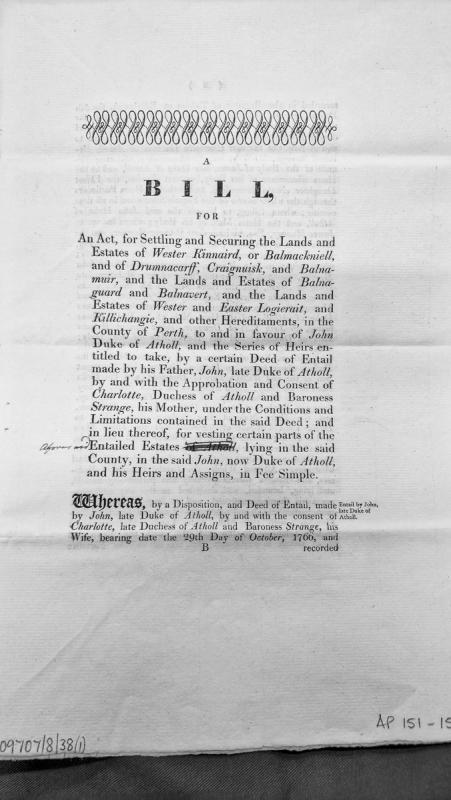
A legislative bill proposing an Act to settle and secure various entailed estates in Perth County, Scotland in favour of John, Duke of Atholl, and his heirs. The bill references a Deed of Entail made by his father (also John, late Duke of Atholl) with the consent of Charlotte, Duchess of Atholl and Baroness Strange, dated 29 October 1766. The bill proposes vesting certain parts of these entailed estates in fee simple.
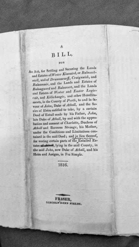
A printed legislative bill from 1816 concerning the settlement and security of multiple entailed estates in Perth County, Scotland, in favour of John, Duke of Atholl, and his heirs. The bill seeks to vest portions of these estates in fee simple under conditions specified in an earlier deed of entail made by the previous Duke.
Worked prehistoric flint of later Mesolithic (heavy-bladed) character has been found at Billown. The material included scrapers and flakes, and was localised to Ordnance Survey Field no. 2441, which is centred at the grid reference provided.
Modern steam-powered water pump.
Quarrying at Billown appears to have begun in 1834 at the northern end of the site. At the time of the Ordnance Survey 1:2500 First Edition mapping of 1868, two disused quarry pits and six abandoned lime kilns are shown at the north end of the site.
A further two quarry pits, marked 'Quarries', associated with a further set of three 'Limekilns' are shown just to the south. The more southerly of the two quarries is shown flooded (PRN 2138.), but adjacent to it is a structure marked 'Engine House'. This housed a steam engine used to pump the quarry sufficiently clear of water to allow working to continue.
The steam engine was used until 1892, when it was replaced by a wind-powered pump.
Modern wind-powered water pump.
Quarrying at Billown appears to have begun in 1834 at the northern end of the site. At the time of the Ordnance Survey 1:2500 First Edition mapping of 1868, two disused quarry pits and six abandoned lime kilns are shown at the north end of the site.
A further two quarry pits, marked 'Quarries', associated with a further set of three 'Limekilns' are shown just to the south. A steam engine was used to pump the quarry sufficiently clear of water to allow working to continue, but this was replaced in 1892 by a wind-powered pump.
The wind-powered pump was used in a number of locations, and was latterly used to pump water from the most southerly, and most recent, of the quarries (PRN 2138.14), and was reportedly sited near to the SW corner of the quarry.
Undated standing stone.
This tall, dark standing stone has a surface of white quartz on one face.
It is located close to a minor summit, which may suggest a prehistoric origin.