Modern millpond.
A watermill is presumed to have existed at Bishopscourt farm for at least a century and a half on the basis of the presence of a 220m-long leat marked on the Ordnance Survey 1:2500 First Edition mapping of 1869.
Additional water storage is provided by a smaller millpond located immediately upstream of the main reservoir (see PRN 1105.30) and centred at the grid reference provided. The millpond is impounded by a dam across the width of the valley. It covered an area of 0.2 acres in 1869, and derived its water from three of the four watercourses supplying the catchment.
A channel at the northern end of the dam connects to the lower pond.
The mill presumably served latterly to process farm produce, though any predecessor on the site may have additionally processed grain collected as the bishop's tithe. The millponds also served to regulate the waterflow through the landscaped grounds of the Bishop's Glen.
Two Bronze Age burial cists containing cremation burials alongside an inhumation burial and accompanying food vessels were discovered in 1953. They were found within a ploughed down round barrow in Cottier's Field during ploughing operations by Mr Ellis Corlett of Bishopscourt Farm, close to the high road between Kirk Michael and Ballaugh.
The excavations by B.R.S. Megaw provided a considerable amount of information concerning burial rituals, both cremation and inhumation in the Middle Bronze Age. Two fine decorated urns of the 'Irish Food Vessel' type were recovered broken, but have been pieced together and are now in the Kermode Gallery, Manx Museum. This was the first thorough examination in the Isle of Man of a Bronze Age burial mound.
In both parts of a massive double cist divided by a septum slab, the burials were accompanied by an 'Irish-type' bowl food vessel (Accession No. 7369 with the cremation and Accession No 7370 with the crouched inhumation). The whole appeared to have been covered by a barely visible mound some 17 metres in diameter. A radiocarbon date of 3560 +70 BP, recalibrated to 1810-1930 BC, was obtained.
The barrow survives as a ditchless, grass-covered bowl barrow with a diameter of 17 metres and a height of 0.4 metres. There is now no visible trace of the cists. When the barrow was surveyed it appeared to have been ploughed over many times, but still visible as 'gentle slopes.'
The site of the "Black Fort", which is a much denuned, circular earthwork within a culitvated field. The earthwork was largely levelled by agricultural improvement circa 1820 and is now defined by very low, ploughed out banks. It had a single rampart, defining an enclosure less than 40 metres in diameter overall.
The earthwork is situated on a slight ridge, it is not in a natural defensive position. By its dimensions and form it is comparable to the Round-houses of circa 200 AD, although not set in low lying or marshy land. It has a diameter from bank top to bank top of 32.0 m and maximum outer and inner heights of 0.5 m. There is no visible trace of an entrance or of stone work.
A post-medieval workshop in Castletown.
Old photographs in the Manx National Heritage collections taken in 1953 suggest that this building was built as a commercial premises without any living accommodation, as there is no visual or physical evidence for chimney stacks. The building is shown as a substantial undivided structure on the Ordnance Survey 1:2500 large scale mapping of 1867.
For much of the second half of the 20th century it was used as a workshop by a local family building firm, and was thus referred to as Blackburn's Workshop.
The building has been converted into three separate dwellings.
This damaged slab was found in 1900 near the north-west corner of the church during renovations. It had been re-used in a grave. One face shows an almost complete example of a 'cross pattée', a geometric curved cross set in a double circular frame, all drawn with the aid of a pair of compasses. The limbs of the cross are enhanced with three-pointed 'triquetra' knots, and the double ring contains the name 'Blagkmon' carved using Anglian runes.
Blair Castle is the ancestral seat of the Murray family, Dukes of Atholl, located in Perthshire, Scotland. The Dukes of Atholl held the Lordship of Mann from 1736 until the Revestment of 1765, inheriting the title through the female line of the Stanleys, and Blair Castle served as their principal residence during this period.
This appears to be a blank or heavily degraded page from a historical manuscript. No readable text, date, signatures, or substantive content could be extracted from the transcription provided.
This appears to be a blank page or heavily degraded document fragment with minimal readable content. Only a closing brace/bracket symbol is visible, suggesting this may be a partial or damaged page from a larger manuscript.
This appears to be a digitised document consisting entirely of whitespace or unreadable OCR output. No substantive text content is recoverable from the file. The filename suggests a Cornell University Library digitisation (cu31924088004423), but the actual document contents cannot be analysed.
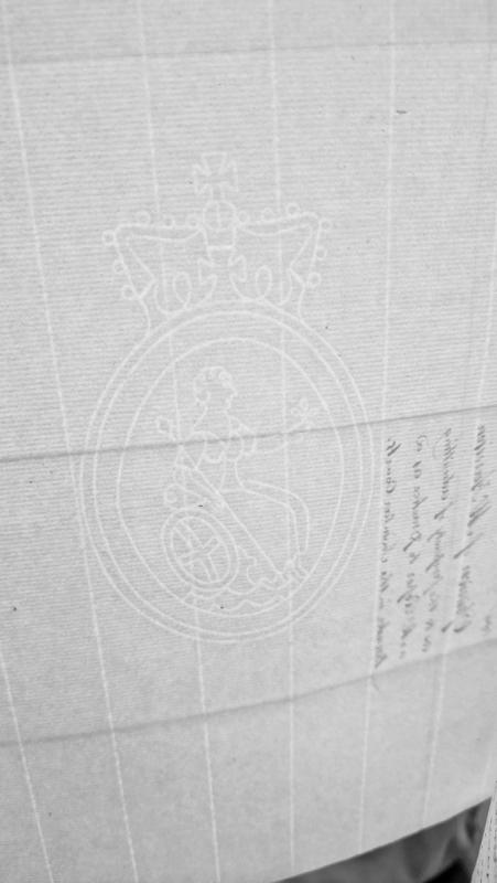
A largely blank page from a historical document, featuring a crowned Britannia watermark embossed in the paper. Faint handwritten text is visible at the bottom right edge but appears to be show-through from the reverse side and is not legible enough for reliable transcription.
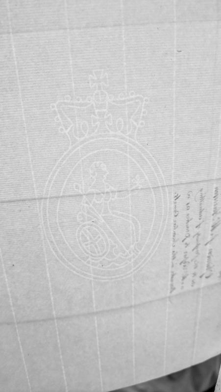
A largely blank page featuring a crowned royal cipher or coat of arms watermark. Handwritten text appears at the bottom right edge, oriented sideways (90° clockwise rotation), but is too faint and cropped to read reliably.
The possible site of a day watch beacon at the feature now named Cronk ny Arrey Laa. 'Blew Hill', Kirk Bride parish, is mentioned in the Castle Rushen Papers in a document dated 1627, where it is listed as a Hill for the Day Watch (Watch and Ward) although it is unknown in the parish and has not been traced in any early records.
William Cubbon stated that the beacon must have been near Port Cranstal, the place of the Night Watch. The highest hill on the Bride coast is Cronk ny Irrey llaa (shown as Cronk ny Arrey Laa on the Ordnance Survey 1:10560 map of 1957), which is Gaelic for 'The Watch Hill', and Cubbon suggested this as the location of the Hill for the Day Watch. The majority of the Watch and Ward posts may well have been maintained on the same sites since the Middle Ages
The site of a post-medieval horsewalk at Block Eary. The circular horsewalk appears on the 1870 1:10560 scale Ordnance Survey map at the northern side of the farmstead complex. The circular earthwork of the horsewalk is still visible on early 21st century aerial photographs, having survived due to the abandonment of the farmstead during the 20th century.
Medieval shieling. This is probably one of the largest shieling settlements on the Island, comprising about 30 structures. Five of the mounds were excavated between 1958 and 1960, and the results have had a profound influence on understanding medieval life in the Manx uplands.
Excavation of Mound A revealed that the earliest phase of activity consisted of a circular stone foundation for a turf-walled roundhouse 5m in diameter. The roundhouse was partially reconstructed before being levelled and the resulting platform providing the foundation for another structure. The rough construction suggested a workshop or animal house rather than a dwelling. Later, this building too fell into ruin and the site was later re-used for a series of turf shieling huts.
These shieling huts were oval or roughly circular in shape, with walls constructed mainly of turf. They were on a much smaller scale than the roundhouse at the base of Mound A: the interior dimensions varied in size from only 2.5 to 4m across internally. Most of the excavated examples had a central hearth, though signs of external hearths were also found.
All of the mounds excavated revealed that the turf structures were prone to collapse and had to be regularly repaired or replaced entirely. Frequent reconstruction on the same site formed a mound on top of which are the remains of the final structure.
The huts were probably not all used for human occupation; Gelling suggested that cheese-making may have been undertaken, and another structure might have served as a corn-drying kiln before being remodelled. Other buildings may have served as animal shelters when required.
The excavations revealed very few artefacts, and the dating of the seasonal activity associated with shielings is difficult to pin down. The evidence from Mound A suggests that shielings postdate the Iron Age, and the discovery of a single 12th century coin shows that people had been in the area around that time. It remains unclear when shielings were finally abandoned.