Extract from William Camden's Britannia (1607) discussing the nomenclature and classical references to the Isle of Man, including citations from Ptolemy, Pliny, Orosius, Bede, Nennius/Gildas, and Giraldus Cambrensis. Includes etymology of 'Man' and historical dispute over whether the island belonged to Britain or Ireland, settled by the test of venomous creatures.
William Camden's historical account of the succession of rulers and ownership of the Isle of Man from Alexander III of Scotland through the Stanley family, covering the medieval and early modern periods. Traces the island's transfer between Scottish, English, and noble hands, including the key role of William de Montacute, Edward II, Robert Bruce, Henry IV, and ultimately the Stanley earls of Derby. Provides important context for understanding pre-1765 Manx constitutional and territorial claims.
A historical account by Camden (1607) tracing the ownership and sovereignty of the Isle of Man from Alexander III of Scotland through the medieval period to the Stanley family. Covers legal claims, military conquest, and the constitutional relationship between Man and the English Crown. Highly relevant as background context for understanding the pre-1765 political and jurisdictional status of Man.
The Great Union Camera Obscura on Douglas Head is a surviving Victorian tourist attraction, with the first camera obscura structure on the site reported in the Manx Sun in May 1887, built near the old Toboggan Slide. That original wooden structure burned down within the year, and the attraction was not reinstated until the 1896 season. It is now the only camera obscura in the world with eleven lenses, projecting live colour views of the surrounding coastline, and is maintained and opened to visitors in the summer months by volunteers.
Medieval burial ground. The site lies in a field traditionally known as the 'Chapel field'. The chapel and a small sub-rectangular enclosure surrounding it are left undisturbed at the edge of a cultivated field and were investigated by the Manx Archaeological Survey in 1918.
The enclosure is roughly 25 by 17m, and is visible as a rise in the ground. The Survey was of the opinion that the enclosure had been cut through by the road to the south, and it would seem likely that it has also been abbreviated by ploughing on the north-east side. The bank defining the enclosure was recorded by the Survey as about 1.2m wide, but in some places was spread as much as 2.4m, and rising in places to a height of 1.3m; it is much reduced now. A number of large stones lying on the surface would appear to have been placed relatively recently, and probably derive from agricultural disturbance in the surrounding field.
There are no recorded burials, but the once substantial nature of the surrounding bank and the raised interior would together seem to imply that the enclosure was once used for this purpose.
Medieval chapel and burial ground. The site lies in a field traditionally known as the 'Chapel field'. The chapel and a small sub-rectangular enclosure surrounding it are left undisturbed at the edge of a cultivated field.
The chapel is orientated east-west, and measures 5.8 by 3.5m internally. The walls vary in thickness between 0.9 and 1.2m, and stand 0.3 to 0.6m high, though at the time they were recorded by the Manx Archaeological Survey in 1918, survived up to a maximum of 1.2m. The north-west corner of the structure is particularly damaged. The walls are faced with stone in irregular courses and the fill in between made up of earth and small stone. A slight indication of the altar against the east wall still survives, though this is only discernible as a rise in the turf. A slight bank of material outside the walls probably comprises material derived from the collapse of the walls.
The surrounding enclosure is roughly 25 by 17m, and is visible as a rise in the ground. The Survey was of the opinion that the enclosure had been cut through by the road to the south, and it would seem likely that it has also been abbreviated by ploughing on the north-east side. The bank defining the enclosure was recorded by the Survey as about 1.2m wide, but in some places was spread as much as 2.4m, and rising in places to a height of 1.3m; it is much reduced now. A number of large stones lying on the surface would appear to have been placed relatively recently, and probably derive from agricultural disturbance in the surrounding field.
There are no recorded burials, but the once substantial nature of the surrounding bank and the raised interior would together seem to imply that the enclosure was once used for this purpose. The localised presence of clay inside the chapel, taken by the Survey to indicate decayed Bronze Age burials predating the Christian use of the site, has since been dismissed as unfired clay daub.
Medieval chapel. The site lies in a field traditionally known as the 'Chapel field'.
The chapel is orientated east-west, and measures 5.8 by 3.5m internally. The walls vary in thickness between 0.9 and 1.2m, and stand 0.3 to 0.6m high, though at the time they were recorded by the Manx Archaeological Survey in 1918, survived up to a maximum of 1.2m. The north-west corner of the structure is particularly damaged. The walls are faced with stone in irregular courses and the fill in between made up of earth and small stone. A slight indication of the altar against the east wall still survives, though this is only discernible as a rise in the turf. A slight bank of material outside the walls probably comprises material derived from the collapse of the walls. Localised deposits of clay inside the chapel, taken by the Survey to indicate decayed Bronze Age burials predating the Christian use of the site, have since been dismissed as unfired clay daub.
Cammag is the traditional national sport of the Isle of Man, related to Scottish shinty and Irish hurling, played with a curved wooden stick (camman) and a ball (crick). Historically games could involve entire villages with up to 200 players and dominated Manx sporting life until the rise of association football around a century ago. Revived at Mooragh, Ramsey, reported by the Isle of Man Times on 14 March 1885, it saw the Ramsey Cammag Club formed that December; in modern times an annual revival match has been held at St John's every Boxing Day.
An extensive historical survey tracing the Isle of Man from Roman times through the medieval period, covering early nomenclature, Druidic settlement, Scottish immigration, and the succession of ruling dynasties. Includes accounts of key figures (Macao, Goddard Crownan, Magnus) and the transfer of sovereignty to the English crown under Edward I and III, establishing crucial background for understanding pre-Revestment governance structures.
An extract from Campbell's Political Survey covering the ancient and medieval history of the Isle of Man from its earliest mentions by Caesar through the Norman period and establishment of the Montacute claim. Traces the island's successive ruling dynasties (Druidic, Scottish, Norwegian, Goddard Crownan's line) and its relationships with England, Scotland, and Scandinavia, providing historical context for understanding the island's constitutional and territorial status before the 1765 Revestment.
Granite headstone situated within a memorial garden. The headstone is adorned with the emblem of a maple leaf.
It was unveiled on 6 July 2014 by Colonel Marc Bigaoutte RCAF. The memorial was dedicated by the Reverend B. Gulland. It was designed by Ivor Ramsden and built by T.E. Cubbon Ltd, Monumental Masons of Castletown.
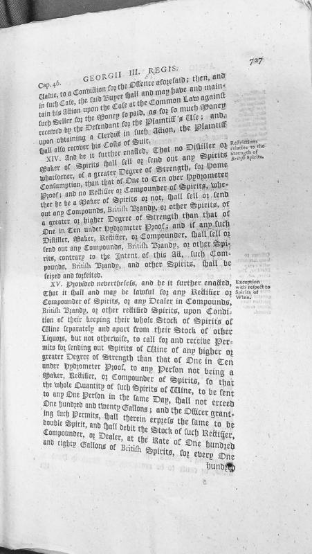
This is an excerpt from Chapter 46 of a statute during the reign of George III, containing clauses XIV and XV regulating the manufacture and sale of distilled spirits. The text establishes maximum strength requirements for spirits sold for home consumption and includes exceptions for spirits of wine under specific conditions.
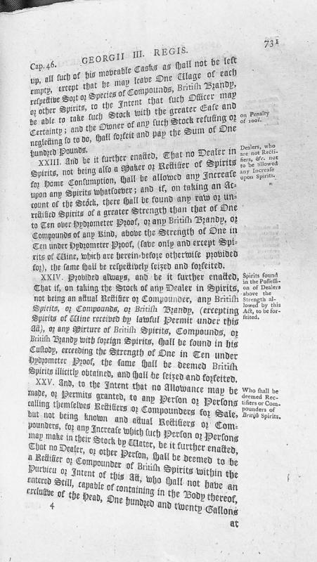
An excerpt from Chapter 46 of legislation under King George III concerning regulations for dealers and rectifiers of spirits. The text details penalties for non-compliance with stock management requirements, restrictions on spirit strength levels for non-rectifier dealers, and definitions of qualified rectifiers and compounders for sale.
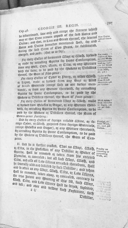
This is an excerpt from legislation (Cap. 46) during the reign of George III establishing new excise duties on various fermented worts, washes, ciders, and spirits produced for home consumption. The document specifies duty rates ranging from 4 pence to 10 pence per gallon depending on the material source, and includes penalties for removal or concealment of materials subject to duty.
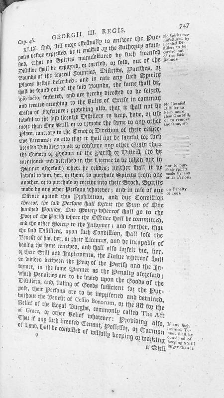
This is an excerpt from a legal statute (Cap. 46, Section XLIX) from the reign of George III regulating licensed distillers. It establishes restrictions on the export and sale of spirits outside specified bounds, limits distillers to a single still, restricts grain sources to local parishes, and prohibits purchasing spirits from other distillers. Violations result in forfeiture of £100, loss of license, and potential imprisonment.
Captain James Thomson reports to Major John Gardiner on a disturbance in Douglas involving soldiers under his command assisting a naval press gang. The letter defends the soldiers' conduct during a confrontation with fishermen who resisted impressment, resulting in two fishermen being wounded. Thomson emphasises his efforts to maintain good relations with the civilian population and clarifies his own non-involvement in the actual impressment.
Captain Dawson, the Crown's own military engineer, had warned London that the smuggling trade had functioned as a kind of non-aggression pact with France: the French left Mann alone because Mann's harbours were useful to French commercial interests. Parliament had destroyed that arrangement and provided nothing adequate in its place. The island that had protected itself through commerce was now defenceless, and its men were fighting someone else's war. The strategic absurdity went deeper — the Isle of Man sat in the middle of the Irish Sea shipping lanes, a natural base for coastal defence. But the harbours were in ruins. The money that might have made the island a strategic asset had been sent to London.
Captain George Dowe commanded the Whitehaven customs sloop Sincerity. In August 1750, he lured Captain Matthias Christian, the Commander at Ramsey, aboard his vessel and presented pistols to his breast, threatening to blow his brains out and to batter his house to the ground. The episode illustrates the violent reality of customs enforcement in the Irish Sea before the Revestment.
James Cook (1728-1779) was a British navigator and explorer renowned for his three voyages of discovery in the Pacific Ocean. His connection to the Isle of Man relates to the broader context of eighteenth-century British naval exploration in which Manx sailors participated.
Manx naval officer who steered the Victory into action at Trafalgar, born 1771 and died 1829.
He was the son of a farmer in the south of the Island. He first came to notice at the Battle of Camperdown in 1797, when Admiral Duncan appointed him to act as lieutenant, an appointment confirmed after the victory.
At Copenhagen in 1801 he was in a frigate of light enough draught to get close under the batteries, where the fire was so heavy that every officer senior to him was killed and he was left in command. Nelson came aboard and asked who was in charge below. Quilliam answered that he was, and to the further question of how he was getting on replied with the single word middlin, without pausing in the work. Nelson, taken with the coolness and the independence of it, found an early opportunity to bring him onto his own ship as first lieutenant.
At Trafalgar the Victory lost her mizzen topmast and had her wheel shot to pieces some five hundred yards off the Bucentaure, and she had to be steered from the gun room, Quilliam and the master Thomas Atkinson relieving each other at the tiller. A document at Trinity House offers a reason why an officer of his rank was at the helm at all: he had the damaged steering gear repaired to a plan of his own, and, not being sure how it would answer, took the tiller himself.
He came home to the Island by degrees. Elected to the House of Keys in 1807, at sea again the next year, he did not resign his seat until 1810. He commanded in the Spencer in 1808 and later the Crescent, serving in her until after the peace of 1815, then retired to the White House at Kirk Michael. He was re-elected to the Keys in 1817 and took a conspicuous part in the Tynwald Court's inquiry into the herring fishery in 1827. He is buried in Kirk Arbory churchyard, where the inscription records that by the example of Duncan and Nelson he learned to conquer, and by his own merit he rose to command.
Captain John Quilliam, Manx Royal Navy officer who served under Nelson at Trafalgar, is buried in Kirk Arbory churchyard, Ballabeg, where his headstone inscription (quoted in the existing Omeka item) records that by the example of Duncan and Nelson he learned to conquer, and by his own merit rose to command.
Captain Matthias Christian, Commander at Ramsey, of the Christians of Milntown in Lezayre.
In August 1750 he was lured aboard the Whitehaven customs sloop Sincerity by Captain George Dowe, who presented pistols to his breast and threatened to destroy his house.
He sat in the House of Keys. A Matthias Christian is among the Keys named at a court held in Castle Rushen on 11 August 1736, before Governor James Murray.
One book passed through his hands and matters more than most of what he did. Deemster John Parr, who sat from 1695 to 1712, had compiled an alphabetical abstract of the laws and customs of the Island for his own convenience on the bench. That folio manuscript was presented in 1745 by a Mr William Curphey to Matthias Christian, Esquire, member of the House of Keys. It afterwards became the property of Alexander M'Clure, a native of Galloway who was comptroller at Peel from 1811 to 1814, and after M'Clure's death it passed to David Niven. Sir James Gell later edited it for the Manx Society and thought it the standard authority on the common law of the Island.
Murray, the Duke of Atholl's revenue officer in the north of the Island before the Revestment.
He is one line in the Duke's own account of what he paid his customs establishment. At Ramsey the officer was G. Murray, at three pounds Manx a year, the same as Paul Bridson at Douglas and William Lidderdale at Peel, and the whole establishment came to forty-nine pounds thirteen shillings and fourpence against collections of between five and six thousand pounds a year.
A Captain Murray is commemorated in the cathedral at Peel, among the memorials to Mrs Jane Wattleworth, Charles Wattleworth and Mrs Maddrell noted by a visitor at the end of the eighteenth century.