Official report from Captain James Thomson (2nd Battalion, 6th Regiment) to Major John Gardiner regarding a press gang impressment operation in Douglas harbour on the night of 13-14 August 1811. Thomson defends his soldiers' conduct during an altercation between locals ('Fishermen') and Lieutenant Hawkes's press gang, explaining military assistance provided and use of ball cartridge. Documents civilian resistance to impressment and civil-military tensions on the Isle of Man.
The site of the burial ground of an early medieval keeill or chapel site, which would have been in use between circa AD500 and AD1000. It is shown on the 1870 1:2500 scale Ordnance Survey map.
P.M.C. Kermode recorded the remains at a time when one wall of the keeill remained and formed part of the boundary of the haggard a little to the rear of the farmhouse here. Mr Callow, the owner, allowed Kermode to excavate inside, but no foundations or further remains were discovered. Many lintel graves have been found in the enclosure and a stone which may have been a font is kept in the haggard.
All that remains of this chapel is a turf covered glacis type bank orientated northeast to southwest. It is 10.4 m long and 0.6 m high with several stones exposed. The feature is virtually destroyed and there remains no real trace of walling and no visible trace of the burial ground enclosure.
The lower end of cross shaft carved with zoomorphic interlace (Manx Cross No. 82). It was found in 1894. It measures 25.5 centimetres x 30.5 centimetres x 4 centimetres thick.
This fragment was found at the chapel at Cardle Veg (IOMHER 0597.00) in 1894. It forms the lower portion of the shaft of a cross with an interlace of dog-headed bands. Small spaces outside of the interlace are filled with small C-shaped spirals or 'volutes'.
The site of an early medieval keeill or chapel site, which would have been in use between circa AD500 and AD1000. It is shown on the 1870 1:2500 scale Ordnance Survey map.
P.M.C. Kermode recorded the remains at a time when one wall of the keeill remained and formed part of the boundary of the haggard a little to the rear of the farmhouse. Mr Callow, the owner, allowed Kermode to excavate inside, but no foundations or further remains were discovered. Many lintel graves have been found in the enclosure and a stone which may have been a font is kept in the haggard.
All that remains of this chapel is a turf covered, glacis type bank orientated northeast to southwest. It is 10.4 metres long and 0.6 metres high with several stones exposed. Upon this bank rests the 'font' - a stone with a shallow basin. It is 0.4 metres in diameter and it is 0.1 metres deep. The thickness of the lip is 0.1 metres. The feature is virtually destroyed and there remains no real trace of walling and no visible trace of the burial ground enclosure.
Ships arrived at Douglas from Copenhagen, Amsterdam, Bordeaux, Stockholm, Hamburg, Barcelona, and Cette. Tea came from China via Holland. Brandy came from France. Tobacco came from the American colonies. Silk and cotton came from India. Rum came from the West Indies. Gunpowder for the slave trade passed through a Manx harbour on its way to the Guinea Coast.
Take a blank map of the world and plot every trade route that connected to the Isle of Man. Use different colours for different goods. When you’ve finished, stand back and look at it.
A tiny island in the Irish Sea, connected to everywhere.
Border city in Cumberland which appears in the surviving correspondence surrounding the execution of William Christian in the Isle of Man.
On 16 January 1663 Charles II ordered the Earl of Derby to bring William Christian before the King and Council. The royal order stated that Christian had petitioned against his imprisonment and conviction for treason in Mann and was considered legally capable of receiving royal favour.
The order arrived too late: William Christian had already been executed at Hango Hill on 2 January.
A month later, on 19 February, another William Christian wrote from Carlisle to Secretary Williamson about the affair. He thanked Williamson for favours and expressed the hope that Derby would answer the King's letter, while those responsible for the Manx proceedings would have to answer for their own actions. The letter was endorsed “Concerning the Earl of Derby's proceedings in the Isle of Man.”
The evidence pack does not establish the identity of this second William Christian securely enough to identify him with a particular member of the Manx Christian family. It does, however, show Carlisle as one point from which the aftermath of the Hango Hill execution reached central government.
The site of a Bronze Age barrow. It is composed of an almost circular rock outcrop upon which has been heaped a cairn comprising large stones. The diameter is 7.0 metres and the average height is 1.3 metres. Upon it a rough, circular, dry stone walled cairn has been built in recent years as judged by the chipped and unweathered stones used, probably the work of walkers.
A post-medieval metal mine trial which consists of two heaps of stone waste, which are presumably spoil tips. There is now no other evidence on aerial photographs of the trial mine itself. A sample of low grade ore was taken from the waste by F.J. Radcliffe in the 20th century.
Carn Vael is a Bronze Age cairn, which measures 12 metres in diameter and stands up to 0.9 metres high. It is composed of very small quartz stones without grass covering and in respect to the use of white stones is unlike other cairns on the island. William Cubbon recorded a tradition which says that the cairn was formed by people from Baldwin depositing the white stones at the site when travelling to Bishopscourt for sacrament.
A few small loose stones mark the site of this cairn which is otherwise completely destroyed. The site is at the junction of three parish boundaries. The cairn is shown on the 1870 1:2500 scale Ordnance Survey map.
The remains of a damaged Bronze Age cairn. It is an oval feature orientated east-west and measuring 6.0 metres by 4.5 metres. It is defined by ten irregular stones one of which is prostrate. The largest stone is 0.7 metres high with sides of 0.6 metres by 0.3 metres. The tops of the remaining stones generally protrude through the ground surface and it is thought that they define the kerb of a cairn or barrow as indicated by a slight outward lean to some of the stones. This site was visited by an excursion of the Isle of Man Natural History and Antiquarian Society in 1912 when Kermode thought that it marked a mound which had been removed.
The site of a damaged barrow or cairn. It has a diameter of 9 metres and height of 1.0 metre. The entire top has been robbed creating a rectangular depression, averaging 0.6 metres deep, revealing a heavy stone content. Part of the rectangle has been built up with dry stone walling. The site was visited by the Isle of Man Natural History and Antiquarian Society in 1912 when it measured about 11 metres in diameter and about 1.8 metres high. It had certainly been a burial place.
The site of a possible late medieval to post medieval Watch and Ward beacon. The Carnane, which is now the heather-covered portion of Douglas Head, was a Hill for the Day Watch of Braddan parish as mentioned in Castle Rushen papers dating to 1627. A view of Douglas drawn by Daniel King circa 1650 marks the path to the Carnane as the way 'to the Beacon'. The Port for the Night Watch was at Douglas town.
Antiquarian notes compiled by the Rev. E.B. Savage record 'traces of rude huts' on the slopes of the Carnanes, overlooking Fleshwick. No further information is provided, and no features corresponding to the description have been located.
Aerial photography shows that the entire west and south-west facing slope south of the southerly summit of the Carnanes ridge was formerly divided into a field system comprising plots ranging in size from about 1.5 to 5 acres, the boundaries of which are still faintly traceable on the ground. The fields appear to have fallen out of use prior to the tithe and rating surveys of the 1840s and 1860s, and the Ordnance Survey of 1870, as they do not feature on any of the maps produced at that time.
The grid reference provided is for indicative purposes only.
Complaint filed by Madam Horne against the Spiritual Court at Kirk Michell, contesting her treatment as a witness/defendant in an ecclesiastical case involving Archdeacon Horrobin and others. The document, extracted from the Exchequer-Book of 1722, was submitted to Lieutenant-Governor Shaw in 1792 as part of Commissioners of Inquiry proceedings. It illustrates jurisdictional disputes, the powers of spiritual courts, and due process concerns in early 18th-century Isle of Man governance.
A complaint filed by Madam Horne before the Governor and Council of the Isle of Man in 1721, protesting irregular proceedings by the Spiritual Court at Kirk Michell. The case reveals tensions between ecclesiastical and civil jurisdictions on the Island, and practices of public penance and record-based defamation. This document was extracted from the Exchequer Book and included in a 1792 report by Commissioners of Inquiry, demonstrating how historical governance disputes informed later reform efforts.
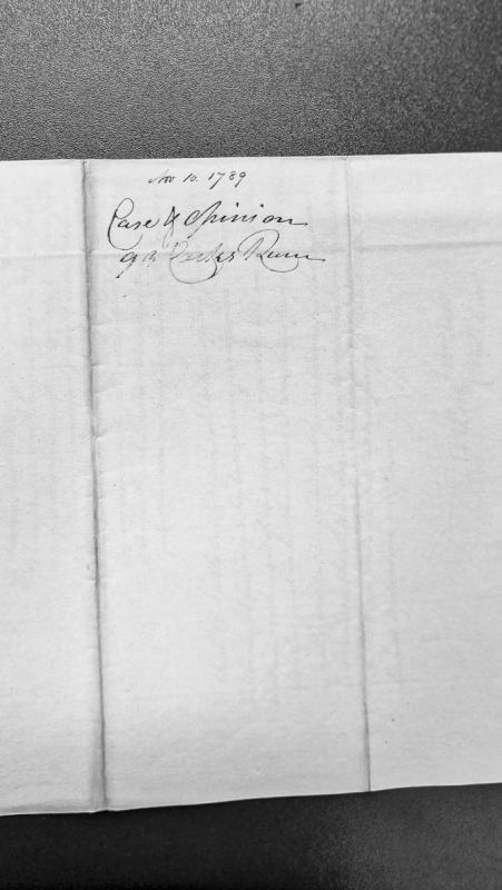
A legal case and opinion document dated November 10, 1789, concerning Castle Rushen. The document appears to be a formal legal assessment or ruling, though the full content and nature of the case are not fully legible from the available transcription.